What is recorded here
This fulling mill is referred to in the 'Archaeological Inventory of County Cork - vol. 4 North Cork' (2000, 711-12) under the entry (no. 15247) for another fulling mill (CO017-073001-). The reference to the former fulling mill is as follows: 'On SE bank of Awbeg River, 150m NE of Cahermee House (14863) and c. 650m E…
Read the whole record
From the National Monuments Service (Archaeological Survey of Ireland) record CO017-073002
Places near here
Photo credits
- National Inventory of Architectural Heritage
- Maker not stated on source page, www.youtube.com
- Maker not stated on source page, www.airbnb.ca
- Maker not stated on source page, www.dreamstime.com
- Maker not stated on source page, www.tripadvisor.ru
- Maker not stated on source page, tomseditor.com
- Maker not stated on source page, www.wavy.com
- Maker not stated on source page, uk.pinterest.com
- Golfing in Ireland; photographer not stated, Source publisher
- Kmcnamee, Wikimedia Commons · CC BY-SA 4.0
 Cahermee HouseHouse · 146 yd
Explorer Tom Cahermee House in Cahermee is rocking those heavy projecting chimneys like it owns the place. It started as thatch and…
 Enclosure in BallymeeEnclosure · 349 yd
Explorer Tom Enclosure in Ballymee is the shortcut that isn’t a shortcut, just a long walk around a field with no destination. It’s…
 Ballyellis HouseCountry house · 850 yd
Explorer Tom Ballyellis House in Ballyellis was built by Henry Langley with such elegance it makes modern architecture feel like a…
 Ballyellis LodgeHouse · 1188 yd
Explorer Tom Ballyellis Lodge is showing off its brick detail and ridge cresting with real pride. Built by Major Brasier-Creagh in…
 Richardstown Castle (Site of)Castle, unclassified · 1586 yd
Explorer Tom Richardstown Castle has strict rules for visitors: don’t touch anything, because lightning hit it in 1865 and it’s…
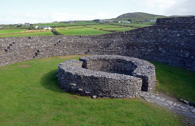 Enclosure in Knockanare (orrery and Kilmore By.)Enclosure · 1611 yd
Explorer Tom Enclosure in Knockanare is an oval shape that has been levelled, leaving only a low bank profile to the west. It sits…
 Church in Clogheen (fermoy By.)Church · 1.1 mi
Explorer Tom Church in Clogheen in County Cork is just a corner left standing because the rest decided to lie down for a nap. It was…
 Clogheen Church (in Ruins)Church · 1.1 mi
Explorer Tom Clogheen Church in Clogheen is just a northwest corner standing there, looking like it gave up halfway through building…
 Fairy fort / earthen ringfort in Clogheen (fermoy By.)Fairy fort / earthen ringfort · 1.2 mi
Explorer Tom Fairy fort in Clogheen sits on a hillock and was once planted with trees. Some of those trees are still there, looking…
 CastleCastle, unclassified · 1.4 mi
Explorer Tom Castle in Ballybeg East is engaged in an eternal feud with the rain, which keeps trying to wash away Lady Doodhaw's…
 Doneraile Golf ClubGolf course · 1.7 mi
 Doneraile GAA pitchGAA ground · 1.8 mi
More historic places in County Cork · All of County Cork

What do you know about this place?Tap to add a comment or ask a question