What is recorded here
Enclosure in Ballymee is a circular ditch about thirty metres across, hidden beneath living soil but still readable in aerial imagery. It sits among other ancient boundaries and field marks in County Cork, suggesting a settled landscape rather than a lonely anomaly. The ditch may have marked a home, a shrine or a boundary for people whose names never survived. Whatever it guarded, the earth kept the shape long after the hands that cut it disappeared.
Cropmark of fosse of circular enclosure (diam. c. 30m) visible in aerial photograph (CASAP, July 1989). Ringfort (12142) c. 100m to S; circular enclosure (13480) c. 170m to S and enclosure (13721) c. 200m to SSW. Field system (12008) in vicinity.
The above description is derived from the published 'Archaeological Inventory of County Cork. Volume 4: North Cork' (Dublin: Stationery Office, 2000). In certain instances the entries have been revised and updated in the light of recent research.
Date of upload/revision: 14 January 2009
The monument record does not grant public access. Check the route and ask the landowner before entering private land.
- What survives
- Recorded monument
Places near here
 Field system in BallymeeField system · 154 yd
 CastleCastle, unclassified · 425 yd
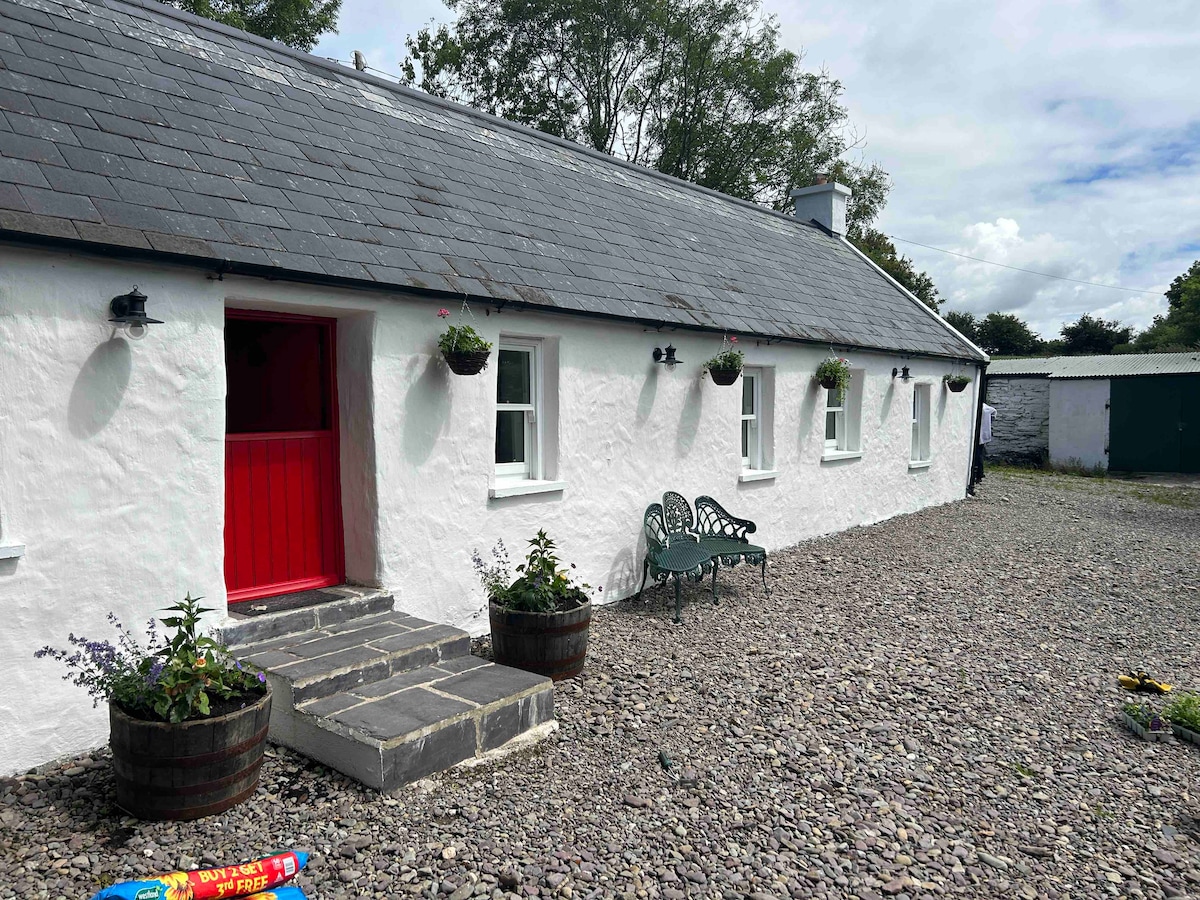 Cahermee HouseCountry house · 431 yd
 Ducks WellHoly well · 505 yd
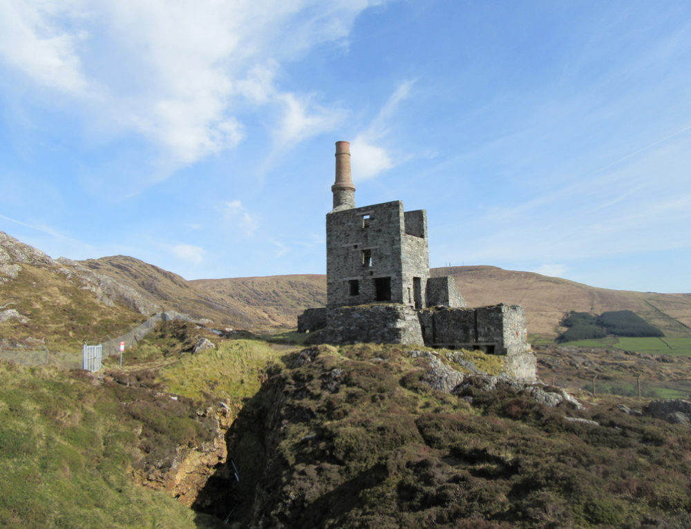 Quarry in CahermeeQuarry · 903 yd
 Smith's WellSpring · 1.3 mi
 Doneraile Castle (Site of)Castle, unclassified · 1.6 mi
 Doneraile HouseHeritage attraction · 1.6 mi
 Sweet ChestnutSweet Chestnut · 1.8 mi
 European YewEuropean Yew · 1.8 mi
 Charles BunworthMemorial · 2.1 mi
 David HurleyMemorial · 2.2 mi