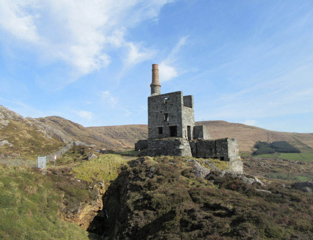
What is recorded here
Listed as a 'levelled enclosure' in the SMR (1988) and as a 'quarry' in the RMP (1998). In pasture, on S facing slope. Depicted as a roughly rectangular depression (c. 40m x c. 30m) on the 1842 OS 6-inch map and as a hachured sub-circular enclosure on the 1906 and 1937 OS 6-inch maps. A partially filled-in depression remains. This may have been a natural depression or a quarry which was enclosed by a protective bank post 1842. The evidence is not sufficient to warrant accepting this as the location of an archaeological monument.
Compiled by: Matt Kelleher
Date of upload: 30 April 2014
The monument record does not grant public access. Check the route and ask the landowner before entering private land.
- What survives
- Recorded monument
Places near here
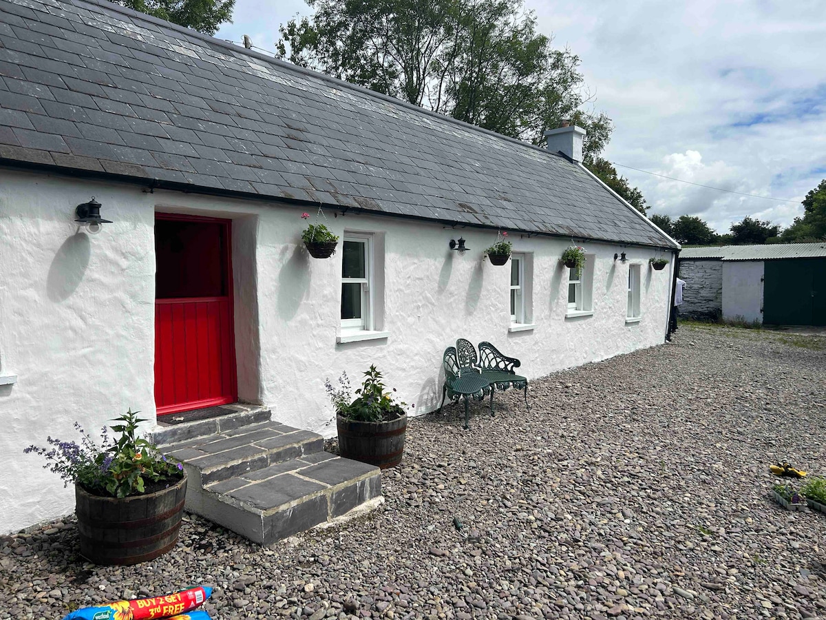 Cahermee HouseCountry house · 573 yd
 CastleCastle, unclassified · 583 yd
 Enclosure in Knockanare (orrery and Kilmore By.)Enclosure · 681 yd
 Ducks WellHoly well · 742 yd
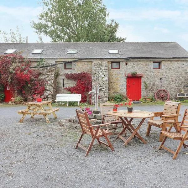 Clogheen HouseCountry house · 1014 yd
 Caherduggan Castle (Site of)Castle, unclassified · 1.5 mi
 Charles BunworthMemorial · 1.7 mi
 Smith's WellSpring · 1.8 mi
 SycamoreSycamore · 1.9 mi
 David HurleyMemorial · 1.9 mi
 Doneraile HouseHeritage attraction · 2.1 mi
 European YewEuropean Yew · 2.2 mi
Other information
Photo: Credit not shown in the picture search · Rights wording not checked; contact us if this picture should be removed