What is recorded here
Double ditches cut a broad trapezoid across the Cork fields, with a ringfort and two smaller enclosures clustered within a few steps. The size and nearby field system suggest a busy local centre rather than a forgotten outlier. People may have gathered there to trade, argue or worship before the earth swallowed the boundaries.
Cropmark of fosse of large trapezoidal enclosure (c. 30m N-S; max. c. 65m E-W at N end; narrower at S end) visible in aerial photograph (CASAP, July 1989); second outer fosse noted on E, S, W and part of N sides. Ringfort (12142) c. 40m to NE; circular enclosure (13480) c. 30m to E and circular enclosure (13481) c. 200m to NNE. Field system (12008) in vicinity.
See Excavations 2003, 36.
The above description is derived from the published 'Archaeological Inventory of County Cork. Volume 4: North Cork' (Dublin: Stationery Office, 2000). In certain instances the entries have been revised and updated in the light of recent research.
Date of upload/revision: 14 January 2009
The monument record does not grant public access. Check the route and ask the landowner before entering private land.
- What survives
- Recorded monument
Places near here
 Field system in BallymeeField system · 140 yd
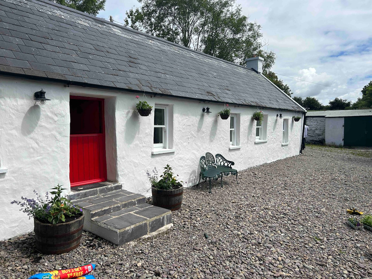 Cahermee HouseCountry house · 432 yd
 CastleCastle, unclassified · 433 yd
 Ducks WellHoly well · 602 yd
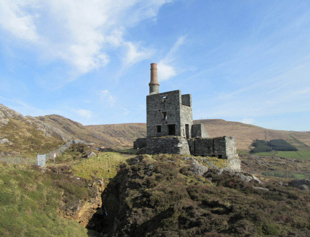 Quarry in CahermeeQuarry · 720 yd
 Smith's WellSpring · 1.4 mi
 Caherduggan Castle (Site of)Castle, unclassified · 1.6 mi
 Doneraile HouseHeritage attraction · 1.7 mi
 European YewEuropean Yew · 1.8 mi
 Sweet ChestnutSweet Chestnut · 1.8 mi
 Charles BunworthMemorial · 2.1 mi
 David HurleyMemorial · 2.2 mi