What is recorded here
On SE bank of Awbeg River, 150m NE of Cahermee House (14863) and c. 650m E of Tuck mill (15248). Fragmentary remains of two tuck mills, indicated on 1842 OS 6-inch map as two rectangular structures (long axes NW-SE). On SE bank of river is NW end of 2-storey rectangular structure (int. 10.52m NW-SE; 5.41m SW-NE) of random-rubble limestone construction. Millrace channel (dry) passes through centre of building under arched opening (Wth c. 1.35m) in SW and NE walls. Door opes in SW and NE walls. North-west elevation has two 1st-floor windows and chimney atop gable. Runner millstone, now lying in millrace, suggests mill once used for grinding corn.
Partial remains of second tuck mill c. 40m to S: rectangular structure (10.7m NW-SE; 4.35m NE-SW) of random-rubble limestone construction. SE gable partially formed by rock face, only outline of SW and NW walls survives. No evidence of millrace, but top of tail-race arch in NE wall. Line of rubble stones in interior may be remains of dividing wall. Pond immediately to SW probably mill pond. Millrace indicated on 1842 OS 6-inch map taken from river c. 400m to W, divides c. 60m to W to feed both mills.
The above description is derived from the published 'Archaeological Inventory of County Cork. Volume 4: North Cork' (Dublin: Stationery Office, 2000). In certain instances the entries have been revised and updated in the light of recent research.
Date of upload/revision: 14 January 2009
The monument record does not grant public access. Check the route and ask the landowner before entering private land.
- What survives
- Recorded monument
Places near here
 Ducks WellHoly well · 110 yd
 CastleCastle, unclassified · 191 yd
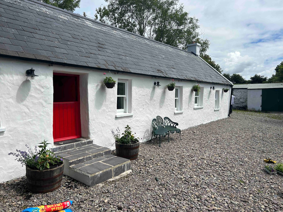 Cahermee HouseCountry house · 201 yd
 Field system in BallymeeField system · 489 yd
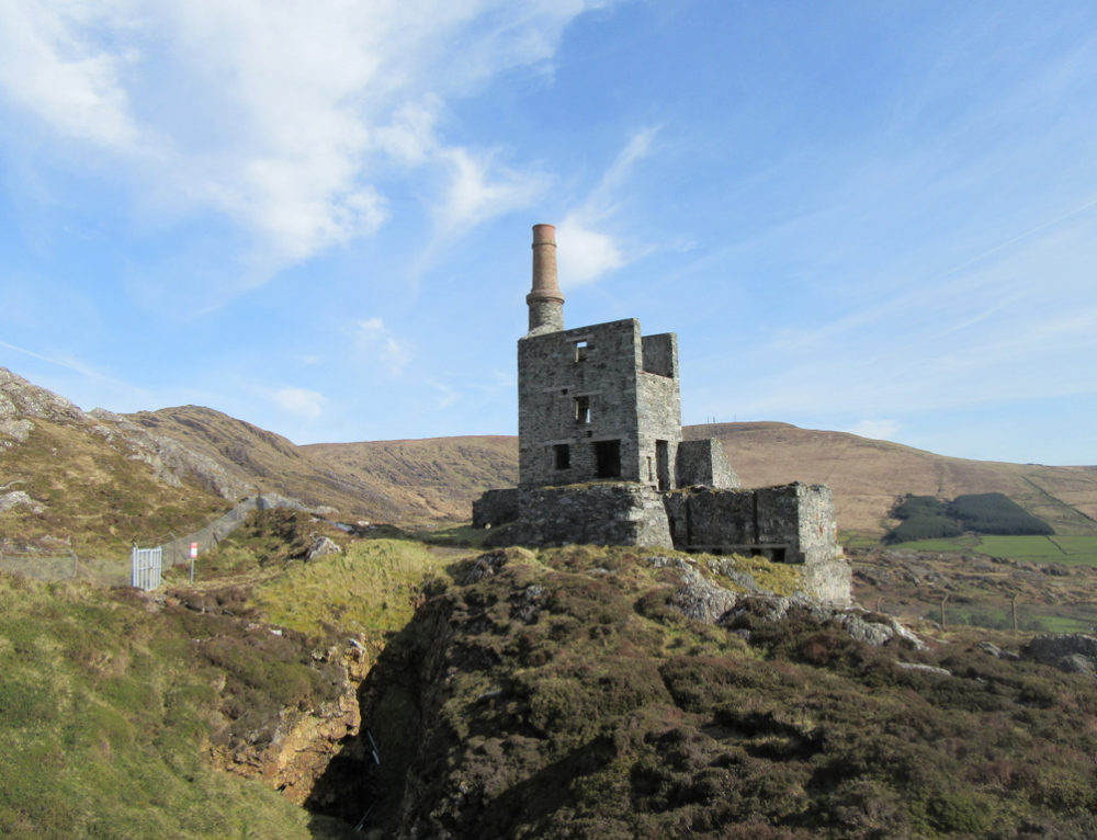 Quarry in CahermeeQuarry · 769 yd
 Smith's WellSpring · 1.5 mi
 Doneraile Castle (Site of)Castle, unclassified · 1.8 mi
 Doneraile HouseHeritage attraction · 1.9 mi
 Charles BunworthMemorial · 1.9 mi
 Sweet ChestnutSweet Chestnut · 2.0 mi
 SycamoreSycamore · 2.0 mi
 David HurleyMemorial · 2.0 mi