
What is recorded here
On top of a small drumlin overlooking the Boyle river, c. 150m to the S. Subcircular grass-covered but poached area (dims. 29.8m E-W; 25.7m N-S) defined by an overgrown flat-topped earthen bank (Wth of base 8-8.5m; Wth of top 2.7-3m; int. H 0.9m; ext. H 2-2.2m) and an outer fosse (Wth of top 6.7m at W to 11.4m at E; Wth of base 3.8m at W to 5m at E; D 0.6-1m), with traces of an outer bank (Wth 6.5m; ext. H 0.1m) NE-E. The entrance (Wth 3.5m) is at ESE.
From the National Monuments Service (Archaeological Survey of Ireland) record RO005-019
Places near here
Picture notes
- Computer-made picture. It does not show this monument.
- National Inventory of Architectural Heritage
- Computer-made picture. It does not show this playground.
- Joseph Mischyshyn, Wikimedia Commons · CC BY-SA 2.0
 Cross-inscribed stone in MocmoyneCross-inscribed stone · 1026 ydComputer-made picture
 Cross-slab in MocmoyneCross-slab · 1026 ydComputer-made picture
 Grave YardGraveyard · 1040 ydComputer-made picture
 IndicatedBarrow, ring-barrow · 1064 ydComputer-made picture
 Ford in MocmoyneFord · 1128 ydComputer-made picture
 Embanked enclosure in Ballinphuill (boyle By.)Embanked enclosure · 1227 ydComputer-made picture
 Embanked enclosureFairy fort / earthen ringfort · 1342 ydComputer-made picture
 Man-made underground passage in MocmoyneMan-made underground passage · 1405 ydComputer-made picture
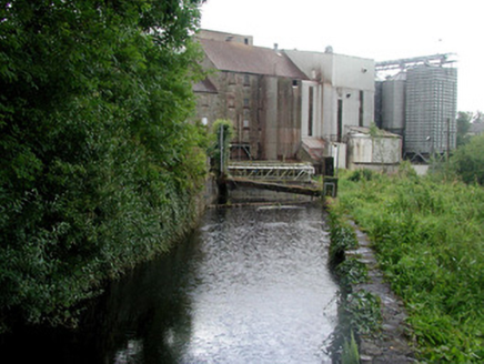 mill race1.0 mi
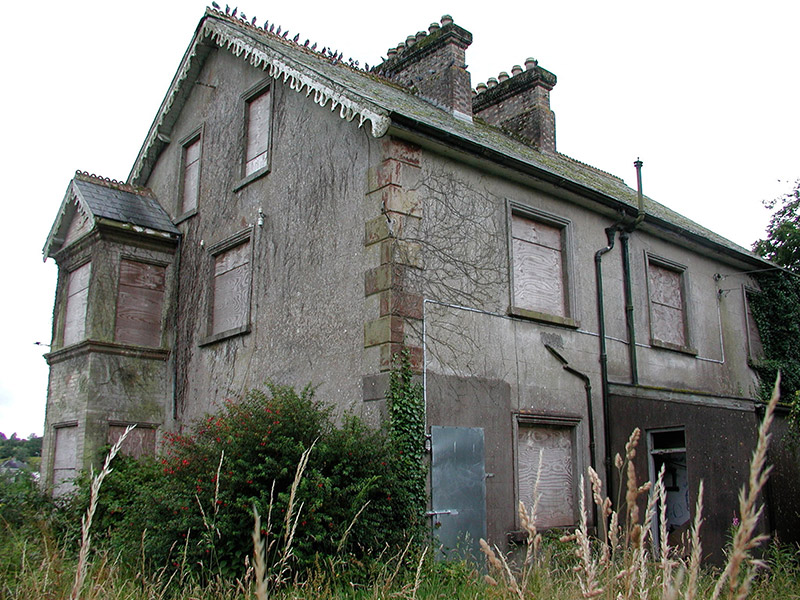 MillmontMiller's house · 1.1 mi
 Children's playground1.4 miComputer-made picture
 Boyle AbbeyVisitor attraction · 1.6 mi
More archaeology and monuments in County Roscommon · All of County Roscommon

What do you know about this place?Tap to add a comment or ask a question