What is recorded here
On a slight ridge in a low-lying landscape surrounded by hills. Circular grass-covered area (diam. 52.5m N-S; 49.5m E-W) defined by an earthen bank (Wth 8-10m; int. H 1-1.2m; ext. H 0.9-1.1m). There are entrances at NE (Wth 14m) and SW (Wth 18.5m), which allowed an old stream, visible as a band of rushes (Wth 6m), to flow through the interior. A N-S field bank and drain overlie the E part of the site, distorting the bank to its E. (Stout 1991, 283; Condit 1993, 16)
Compiled by: Michael Moore
Date of upload: 24 August 2010
The monument record does not grant public access. Check the route and ask the landowner before entering private land.
- What survives
- Recorded monument
Places near here
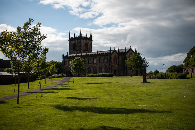 Assylin ChurchChurch · 778 yd
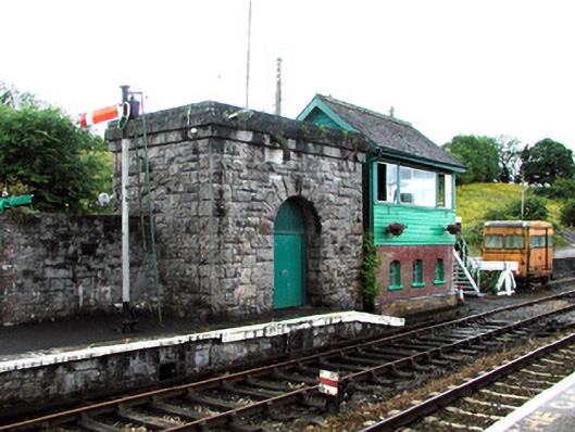 Boyle Railway Stationsignal box · 1322 yd
 Ritual siteRitual site, holy/saint's stone · 1348 yd
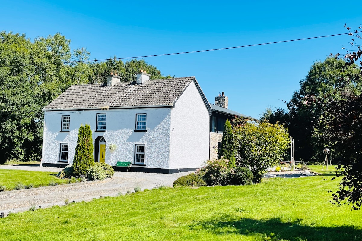 Hut site in Ballymore WestHut site · 1710 yd
 King William MemorialMonument · 1.1 mi
 Boyle AbbeyHeritage attraction · 1.3 mi
 Battle of Curlew PassMajor battlefield · 2.5 mi
 Battle of the Curlew Mountains (1599)Battlefield · 2.5 mi
 Erris BayBay · 2.9 mi
 Bingham IslandIslet · 3.0 mi
 Trinity IslandIslet · 3.3 mi
 Curlew MountainsMountain / peak · 3.3 mi