What is recorded here
On a S and E-facing slope c. 50m from the N bank of the Boyle River overlooking a waterfall from which it took its name. A D-shaped graveyard (dims. 91m N-S; 70m E-W) defined by a masonry wall which has been extended to N. The remains of Assylin Church (RO005-020001-) is at the S extremity of the original graveyard.
Compiled by: Michael Moore
Date of upload: 24 August 2010
The monument record does not grant public access. Check the route and ask the landowner before entering private land.
- What survives
- Recorded monument
Places near here
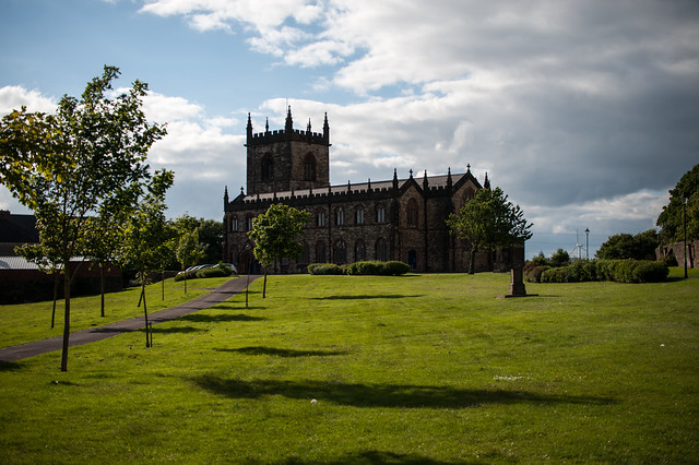 Assylin ChurchChurch · 27 yd
 IndicatedFairy fort / earthen ringfort · 673 yd
 Ritual siteRitual site, holy/saint's stone · 757 yd
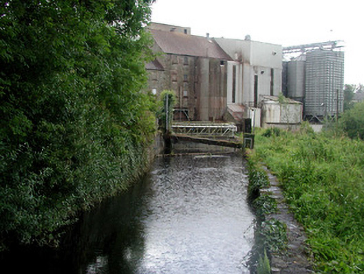 mill racemill race · 828 yd
 King William MemorialMonument · 1472 yd
 Boyle AbbeyHeritage attraction · 1743 yd
 Battle of Curlew PassMajor battlefield · 2.1 mi
 Battle of the Curlew Mountains (1599)Battlefield · 2.1 mi
 Bingham IslandIslet · 2.6 mi
 Erris BayBay · 2.7 mi
 Church IslandIslet · 3.0 mi
 Curlew MountainsMountain / peak · 3.1 mi