
What is recorded here
From the National Monuments Service (Archaeological Survey of Ireland) record RO005-006
Places near here
Photo credits
- Maker not stated on source page, www.pinterest.com
- Maker not stated on source page, www.smithsonianmag.com
- Real Group Photos / realboyle (Flickr account); individual photographer not stated, www.flickr.com
- Maker not stated on source page, irishtravelhub.com
- Wikimedia Commons contributor · CC BY 2.5
- Golfing in Ireland; photographer not stated, Source publisher
- Maker not stated on source page, tr.pinterest.com
- Sawyer777, Wikimedia Commons · CC BY-SA 4.0
- Gillaween, Wikimedia Commons · CC BY-SA 4.0
- Maker not stated on source page, www.irishamerica.com
- National Inventory of Architectural Heritage
 Pillar StoneStanding stone · 1410 yd
Explorer Tom Pillar Stone in Drumanone is a sandstone block that used to stand near a portal tomb but got removed in the 1960s and…
 Cross-inscribed stone in MocmoyneCross-inscribed stone · 1.1 mi
Explorer Tom Mocmoyne has this cross-inscribed stone that seems to have been built using nothing but tea breaks and stubbornness.…
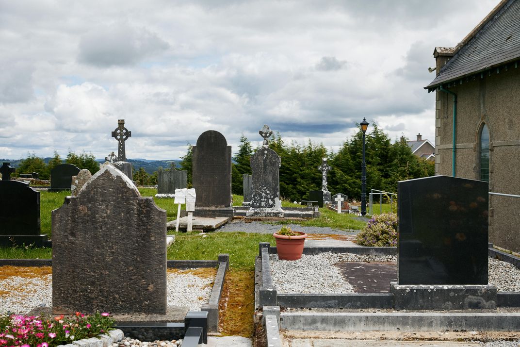 Graveyard in CoolnagranshyGraveyard · 1.6 mi
Explorer Tom Graveyard in Coolnagranshy has had so many former names that it can’t remember its own birthday anymore. It sits on a…
 Abbey Park, Boyle GAAGAA ground · 1.8 mi
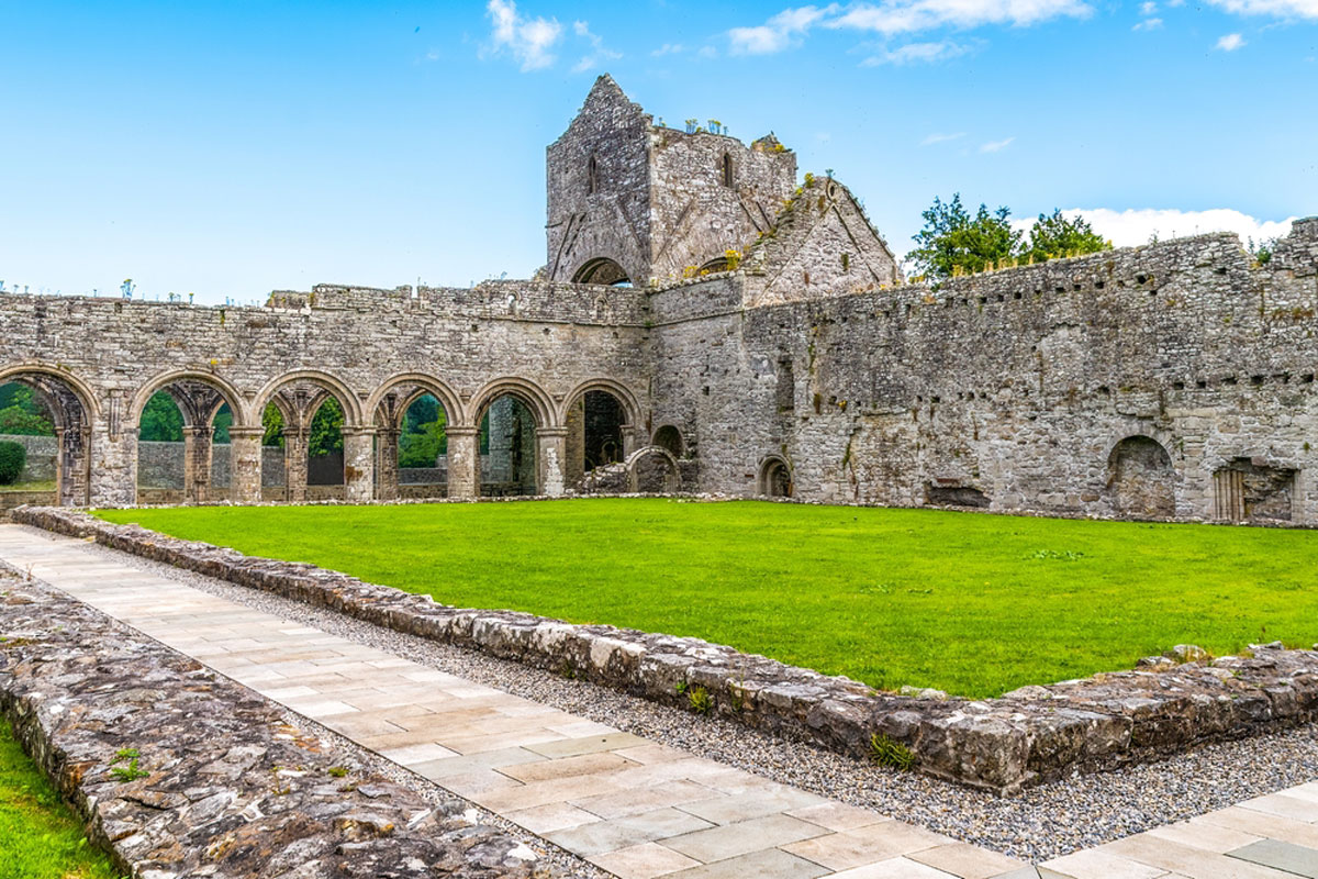 Boyle AbbeyReligious house, Cistercian monks · 1.8 mi
Explorer Tom Boyle Abbey would tell its younger self to stop trying so hard to look impressive and just enjoy the silence. It’s been…
 Curlew MountainsMountain / peak · 2.0 mi
Explorer Tom The Curlew Mountains may have nothing to do with curlew birds, which is awkward because I had prepared a terrific…
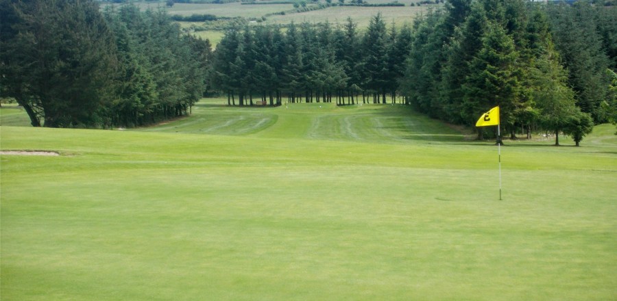 Boyle Golf ClubGolf course · 2.6 mi
 Knockbrack CemeteryCemetery · 6.5 mi
Explorer Tom Knockbrack Cemetery would survive a zombie attack simply because the zombies would get confused by the layout. It’s…
 Queen Medb: RathcroghanLegend location · 12 mi
Explorer Tom Queen Medb: Rathcroghan is where the Táin starts turning a quarrel about a bull into an epic. Medb had a royal seat…
 The Mórrígan: OweynagatLegend location · 13 mi
Explorer Tom The Mórrígan: Oweynagat is called the Cave of Cats, which fooled me into expecting a very ordinary sort of trouble.…
 CastleCastle, unclassified · 17 mi
Explorer Tom Castle in Emlagh would tell its younger self to stop being so dramatic about crumbling. It’s just a pile of rocks…
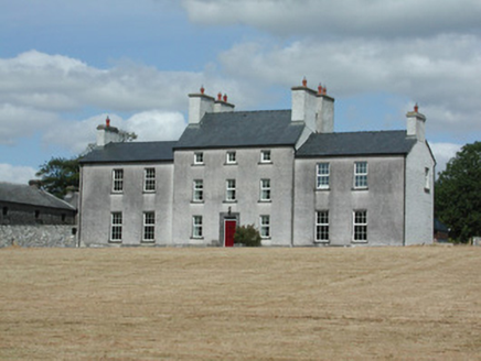 Dundermot HouseCountry house · 20 mi
Explorer Tom Dundermot House in Dundermot sits on a hill overlooking the River Suck, probably humming 'Country Roads' every single…
More archaeology and monuments in County Roscommon · All of County Roscommon

What do you know about this place?Tap to add a comment or ask a question