
What is recorded here
In pasture, on elevated ground with a fall to W towards a stream. Excellent views in all directions. Raised broadly oval area (43.5m E−W; 37.6m N−S) defined by an earth and stone bank (Wth 3m; int. H 0.4-0.7m; ext. H 1-1.4m), outside which at SE−W there is a fosse (Wth 2.4m; D 0.6m). The inner bank has a well defined…
Read the whole record
From the National Monuments Service (Archaeological Survey of Ireland) record MA119-048
Places near here
Photo credits
- National Inventory of Architectural Heritage
- Maker not stated on source page, en.wikipedia.org
- Maker not stated on source page, www.pinterest.com
- Maker not stated on source page, www.irelandhighlights.com
- Mike Searle, Wikimedia Commons · CC BY-SA 2.0
- Kmcnamee, Wikimedia Commons · CC BY-SA 4.0
- Willow, Wikimedia Commons · CC BY 2.5
- Maker not stated on source page, www.dreamstime.com
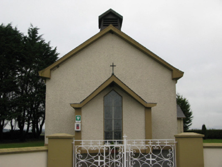 Saint Joseph's Catholic ChurchChurch/chapel · 1502 yd
Explorer Tom Saint Joseph's Catholic Church in Carrowmore is all about that barn shape, which is weirdly proud of looking like a…
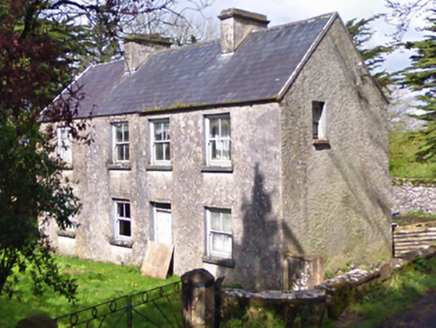 farm house1.5 mi
Explorer Tom Farm house in Lecarrow is a dishevelled little thing that was reconstructed in the early twentieth century but still…
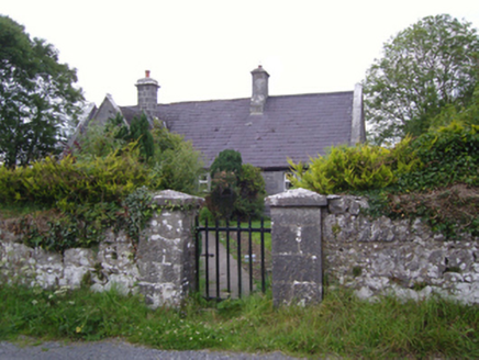 Cloghans National SchoolSchool · 1.6 mi
Explorer Tom Cloghans National School is dressed for a Victorian fancy dress party that hasn’t started yet. It’s got that grey…
 Castle (Site of)Gatehouse · 1.7 mi
Explorer Tom Castle at Blindwell is just a pointed arch with two hanging eyes, possibly for a bawn entrance. It flanks a wall with…
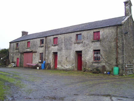 Blindwell HouseFarmyard complex · 1.7 mi
Explorer Tom Blindwell House’s farmyard complex was once ruled by a goat who thought it owned the limestone. The main house is gone…
 Graveyard in Killeenrevagh (clanmorris By.),killeenrevagh (kilmaine By.)Graveyard · 1.8 mi
Explorer Tom Graveyard in Killeenrevagh has an imaginary fan club of people who claim they found it by accident. They all show up…
 CastleCastle, unclassified · 1.9 mi
Explorer Tom Castle in Cloghans Beg is playing hard to get. Its least favourite visitor was probably a very confused sheep that…
 Fairy fort / earthen ringfort in ArdourFairy fort / earthen ringfort · 2.0 mi
Explorer Tom Fairy fort / earthen ringfort in Ardour has been quarried out at the north and southeast, so it’s half gone. The most…
 Fartamore Castle (ruins)Castle · 4.2 mi
Explorer Tom Fartamore Castle is in ruins, which means it’s officially allowed to look a bit messy without anyone complaining about…
 Kilconly GAAGAA ground · 5.2 mi
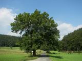 European ash6.5 mi
Explorer Tom European ash remembers when the builder was thinking about putting a swing here but decided against it because of the…
 Kilbannon CemeteryGraveyard · 6.5 mi
Explorer Tom Kilbannon Cemetery is haunted by a fiddler who played all night until his fingers turned into wooden spoons. The locals…
More archaeology and monuments in County Mayo · All of County Mayo

What do you know about this place?Tap to add a comment or ask a question