What is recorded here
Forty-five metres of forgotten boundary still circle a slight rise in Ardour, though quarrying has bitten through the northern and southeastern banks. The remaining scarp, fosse and outer edge mark a home or shelter old enough to become a fairy fort in local memory. People may have lived inside that broken ring before the earth was taken for stone, but the grassland keeps the shape rather than the story.
On a slight rise in otherwise level grassland. Very poorly preserved circular rath (D 45m) defined by a scarp, intervening fosse and outer bank. Possible entrance at E. The enclosing elements have been quarried out at N and SE.
The above description is derived from the published 'Archaeological Inventory of County Galway Vol. II - North Galway'. Compiled by Olive Alcock, Kathy de hÓra and Paul Gosling (Dublin: Stationery Office, 1999).
Date of upload: 05 August 2010
The monument record does not grant public access. Check the route and ask the landowner before entering private land.
- What survives
- Recorded monument
Places near here
 Enclosure in ArdourEnclosure · 553 yd
 Ardour Br.Bridge · 815 yd
 Bawn in BlindwellBawn · 1588 yd
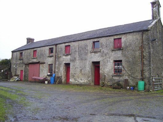 Blindwell Housefarmyard complex · 1633 yd
 IcehouseIcehouse · 1.0 mi
 European YewEuropean Yew · 1.8 mi
 CastleCastle, tower house · 3.1 mi
 Pesooge PlantationForest · 3.8 mi
 Mass RockNamed rock · 4.9 mi
 Kilcoona Round TowerHeritage attraction · 9.4 mi
 Inis Mhic an TrírIsland · 11 mi
 Otter IslandIslet · 11 mi