
What is recorded here
From the National Monuments Service (Archaeological Survey of Ireland) record CO052-012
Places near here
Photo credits
- Maker not stated on source page, global-geography.org
- Maker not stated on source page, monumentalireland.ie
- Maker not stated on source page, www.dreamstime.com
- National Inventory of Architectural Heritage
- Maker not stated on source page, commons.wikimedia.org
- Hourihan (pitch contractor and image source; individual photographer not named), www.hourihan.ie
- The Echo; photographer not named in the article, www.echolive.ie
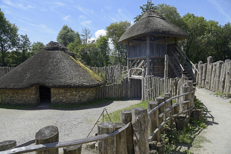 Fairy fort / earthen ringfort in Ballythomas (barrymore By.)Fairy fort / earthen ringfort · 1660 yd
Explorer Tom Fairy fort / earthen ringfort in Ballythomas was levelled in 1973, but locals say black earth appears after ploughing…
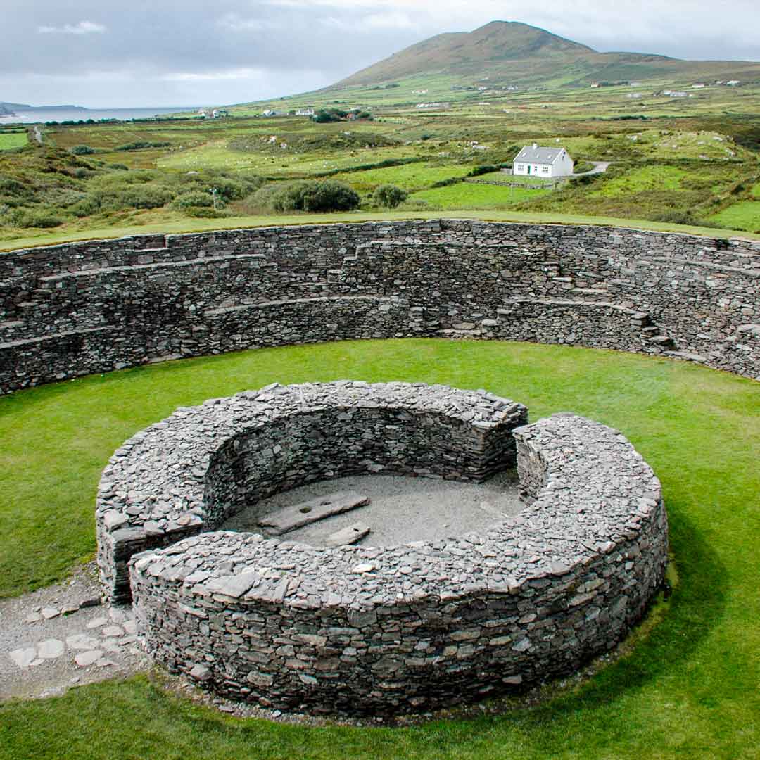 Fairy fort / earthen ringfort in Ardnageehy WestFairy fort / earthen ringfort · 1.3 mi
Explorer Tom Fairy fort / earthen ringfort in Ardnageehy West has decided its retirement plan involves vanishing completely from the…
 Fairy fort / earthen ringfort in Ballindeenisk (barrymore By.)Fairy fort / earthen ringfort · 1.3 mi
Explorer Tom Ballindeenisk’s second fort claims there’s a tunnel straight to the local pub, but I think that’s just a tall tale to…
 Ballindeenisk HouseHouse · 1.3 mi
Explorer Tom Ballindeenisk House in Ballindeenisk is throwing a shape with its irregular rooflines and tall chimneys. It’s been…
 Church (Site of)Church · 1.6 mi
Explorer Tom Church in Ballynabortagh has vanished so completely that even the locals are confused about where to stand during the…
 Standing stone in Ballinlegane (barrymore By.)Standing stone · 1.8 mi
Explorer Tom A tiny standing stone in Ballinlegane says it has great leadership skills in a job interview, but nobody can find its…
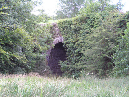 Ardnabricka BridgeBridge · 2.3 mi
Explorer Tom Ardnabricka Bridge in Ballynabortagh has high arches that show off some serious stone masonry skills. The rough rubble…
 kiln2.3 mi
Explorer Tom Kiln in Trantstown is a lime kiln reminding us of industrial days. Two lads once bet on who could light it fastest, and…
 CastleCastle, unclassified · 2.4 mi
Explorer Tom Castle in Dunbulloge has vanished so completely that even Windele couldn't find it in 1840. It was an O'Keeffe place…
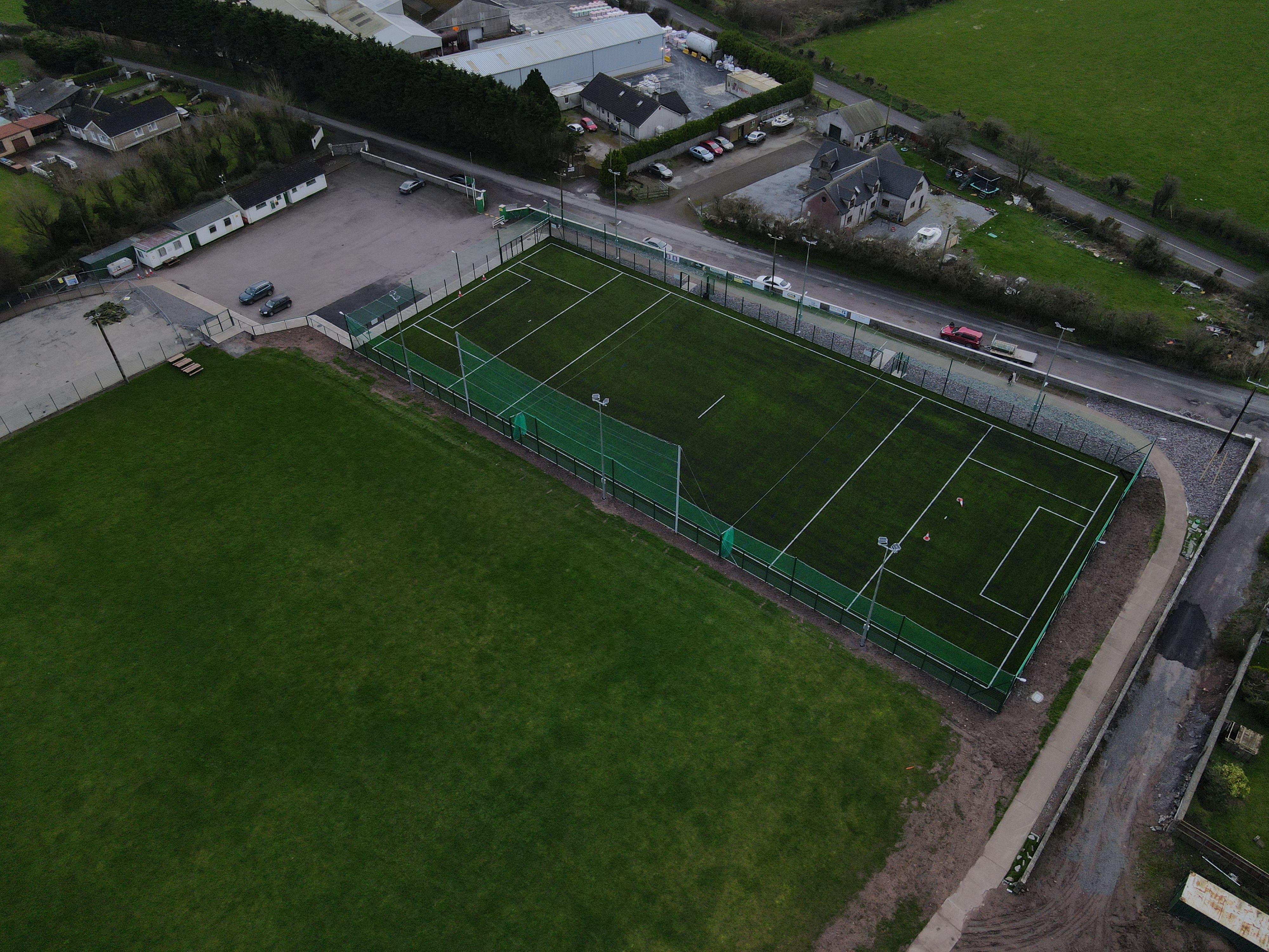 White's Cross GAA pitchGAA ground · 3.9 mi
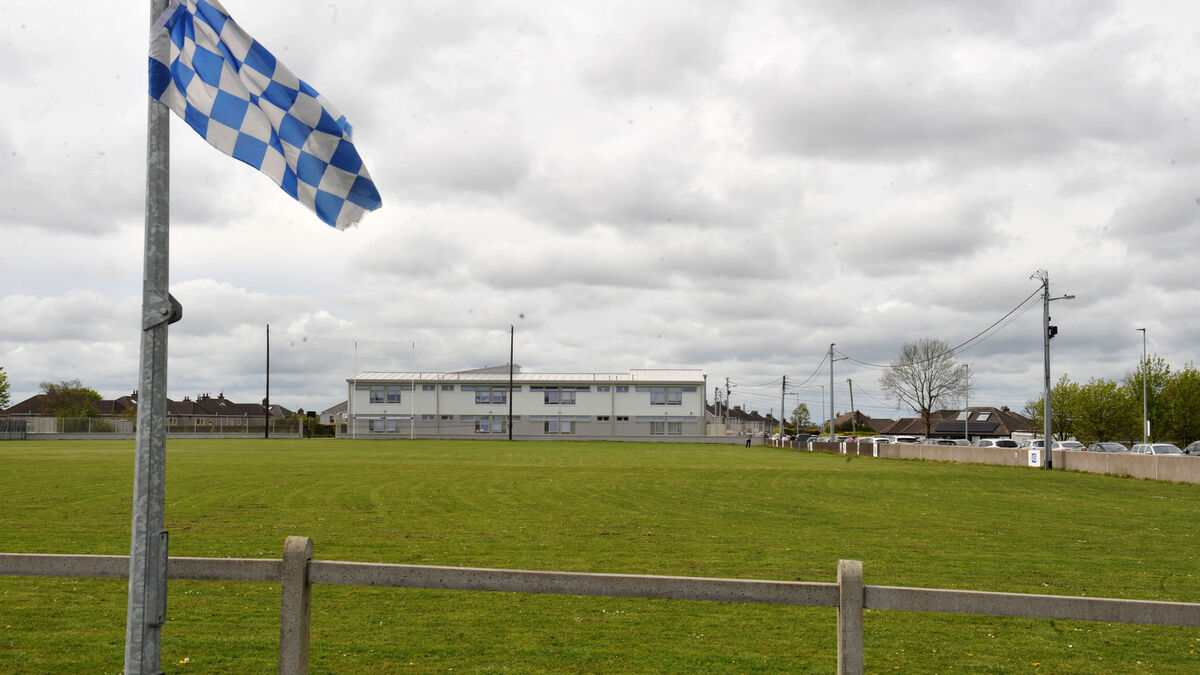 Tank Field, Brian DillonsGAA ground · 4.6 mi
 Saint Catherine's CemeteryCemetery · 5.4 mi
Explorer Tom Saint Catherine's Cemetery is waiting for you to judge its tombstone, which probably reads 'Died of Boredom' in big…
More archaeology and monuments in County Cork · All of County Cork

What do you know about this place?Tap to add a comment or ask a question