What is recorded here
Fort Field in Ballythomas was a circular earthen enclosure about 35 metres across, visible on the 1842 map and still called a fairy fort by locals. It stood in ordinary farmland until ploughing levelled it around 1973, yet the story insists black earth still appears when the soil turns. The fort may have housed people, marked a boundary or simply given the field its name, but its shape resisted forgetting even after the ridge disappeared.
In tillage, on level ground. Shown on 1842 OS 6-inch map as circular enclosure (diam. c. 35m). Levelled c. 1973. According to local information, black earth visible after ploughing. Known locally as "fort field".
The above description is derived from the published 'Archaeological Inventory of County Cork. Volume 2: East and South Cork' (Dublin: Stationery Office, 1994). In certain instances the entries have been revised and updated in the light of recent research.
Date of upload/revision: 14 January 2009
The monument record does not grant public access. Check the route and ask the landowner before entering private land.
- What survives
- Recorded monument
Places near here
 Anomalous stone group in BallynabortaghAnomalous stone group · 1189 yd
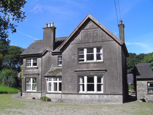 Ballindeenisk Househouse · 1262 yd
 CaveMan-made underground passage · 1374 yd
 Castle (Site of)Castle, unclassified · 1532 yd
 Water millWater mill, horizontal-wheeled · 1.3 mi
 Castle (in Ruins)Castle, tower house · 2.4 mi
 Graveyard in GlenvilleGraveyard · 3.7 mi
 Graveyard in Killuntin NorthGraveyard · 3.8 mi
 Murphy's RockViewpoint · 4.9 mi
 Carberrytown WoodWood · 5.1 mi
 Clogheenmilcon Nature Reserve Killeens EndPicnic place · 6.4 mi
 Enclosure in BallynabortaghEnclosure · 1513 yd