What is recorded here
In grounds of Killuntin House (CO044-012001-). 1842 OS 6-inch map shows outline of rectangular building labelled 'site of church' (CO044-012002-), and dotted outline of circular 'graveyard'. According to Power (1917, 13) site of 'Cill Fhionntain (Fintan's Church)....a man who saw the old graveyard describes it as surrounded by an earthen fence of the usual circular type'. No visible surface trace of church or graveyard.
In grounds of Killuntin House (CO044-012001-). 1842 OS 6-inch map shows outline of rectangular building labelled 'site of church' (CO044-012002-), and dotted outline of circular 'graveyard'. According to Power (1917, 13) site of 'Cill Fhionntain (Fintan's Church)....a man who saw the old graveyard describes it as surrounded by an earthen fence of the usual circular type'. No visible surface trace of church or…
From the National Monuments Service (Archaeological Survey of Ireland) record CO044-012003
The monument record does not grant public access. Check the route and ask the landowner before entering private land.
- What survives
- Recorded monument
Places near here
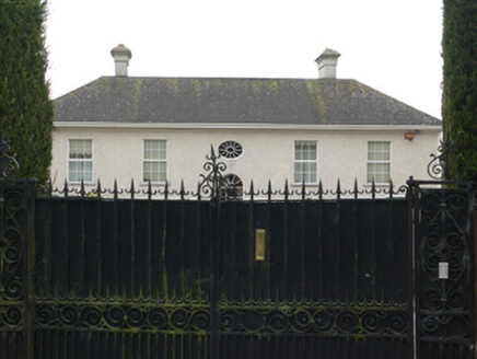 Bridestown HouseCountry house · 1053 yd
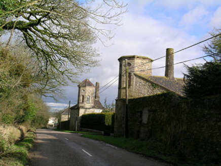 Bridestown TowersOutbuilding · 1073 ydGraveyard in GlenvilleGraveyard · 1.3 miMan-made underground passage in Ardnageehy EastMan-made underground passage · 1.6 miCastle (in Ruins)Castle, unclassified · 1.9 miCastle (Site of)Castle, unclassified · 3.8 miLiam BurkeMemorial · 4.4 miCappagh XViewpoint · 4.5 miDevonshire's HillMountain / peak · 4.7 miMoanbaun ForestForest · 5.3 mi
 CorranMountain / peak · 6.5 mi
 Corrin CrossMonument · 6.6 mi
Pictures: National Inventory of Architectural Heritage; Hywel Williams, Geograph · CC BY-SA 2.0; Hywel Williams, Wikimedia Commons · CC BY-SA 2.0
More memorials and graveyards in County Cork · All of County Cork
What do you know about this place?