
What is recorded here
In pasture, on N-facing slope. Windele (Macalister 1945, 63) recorded a 'Man-made underground passage, stone-lined 12ft long'. No visible surface trace. Levelled rectangular enclosure (COO52-037---) to NW.
The above description is derived from the published 'Archaeological Inventory of County Cork. Volume 2: East and South Cork' (Dublin: Stationery Office, 1994). In certain instances the entries have been revised and updated in the light of recent research.
Date of upload/revision: 14 January 2009
The monument record does not grant public access. Check the route and ask the landowner before entering private land.
- What survives
- Recorded monument
Places near here
 Enclosure in BallynabortaghEnclosure · 153 yd
 Castle (Site of)Castle, unclassified · 174 yd
 Anomalous stone group in BallynabortaghAnomalous stone group · 244 yd
 Ardnabricka Bridgebridge · 1.3 mi
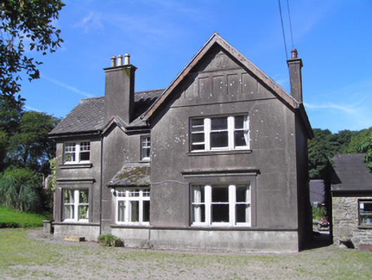 Ballindeenisk Househouse · 1.5 mi
 Castle (in Ruins)Castle, tower house · 1.9 mi
 Graveyard in GlenvilleGraveyard · 3.3 mi
 Graveyard in Killuntin NorthGraveyard · 3.8 mi
 Murphy's RockViewpoint · 5.0 mi
 Carberrytown WoodWood · 5.8 mi
 Clogheenmilcon Nature Reserve Killeens EndPicnic place · 6.2 mi
:BlarneyCastle,KinsaleCorkCityShoreTour-KlookIndia.jpg) Clogheenmilcon SanctuaryNature reserve · 6.6 mi
Clogheenmilcon SanctuaryNature reserve · 6.6 miOther information
Photo: Credit not shown in the picture search · Rights wording not checked; contact us if this picture should be removed