What is recorded here
In improved pasture, on a NE-facing slope. Roughly circular area (24m N-S; 20m E-W) defined by scarped edge (Wth 4.5m; H 0.8m) at foot of which is earthen bank (Wth 2.3m; int. H 0.25m; ext. H 1.2m) with external fosse (Wth 4.55m; D 1.0m). present entrance (Wth 6m) to interior at SSW-SW. Fosse re-cut as field drain SSW-NE; field boundaries abut enclosure at NE and SSE. Bank covered by trees and scrub. Interior grass covered and slopes gently down to W.
In improved pasture, on a NE-facing slope. Roughly circular area (24m N-S; 20m E-W) defined by scarped edge (Wth 4.5m; H 0.8m) at foot of which is earthen bank (Wth 2.3m; int. H 0.25m; ext. H 1.2m) with external fosse (Wth 4.55m; D 1.0m). present entrance (Wth 6m) to interior at SSW-SW. Fosse re-cut as field drain SSW-NE; field boundaries abut enclosure at NE and SSE. Bank covered by trees and scrub. Interior…
From the National Monuments Service (Archaeological Survey of Ireland) record LI024-004
The monument record does not grant public access. Check the route and ask the landowner before entering private land.
- What survives
- Recorded monument
Places near here
Photo credits
- National Inventory of Architectural Heritage
- Garry Dickinson, Geograph · CC BY-SA 2.0
- Graham Horn, Geograph · CC BY-SA 2.0
- EamonnPKeane, Wikimedia Commons · CC0
 DromkeenHouse · 166 yd
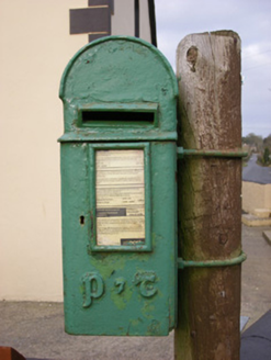 post box418 yd
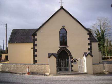 Saint Bridget's Catholic ChurchChurch/chapel · 422 yd
 presbytery/parochial/curate's house459 ydEnclosure in Dromkeen SouthEnclosure · 645 yd
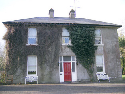 Longstone HouseHouse · 929 ydKnockseefinMountain / peak · 1.6 mi
 CastleCastle, motte and bailey · 2.5 mi
 Kilduff Castle (in ruins)Castle, tower house · 2.9 miSt. Patrick's WellSpring · 3.0 miKilteely HillMountain / peak · 3.5 mi
 Standing stone in Longstone (cullen Par.)Standing stone · 6.0 mi
More archaeology and monuments in County Limerick · All of County Limerick
What do you know about this place?