What is recorded here
In pasture, below crest of ridge, on W-facing slope. Circular area (25m N-S; 25.2m E-W) defined by earthen bank (int. H 0.7m) NNE->SSE; scarp (H 1m) on downslope to W. Bank NNE->SSE incorporated into field fence system; external fosse (D 0.7m) continues, beyond enclosure, N and S along field fence. Interior planted witn trees, many now felled.
From the National Monuments Service (Archaeological Survey of Ireland) record CO064-010
The monument record does not grant public access. Check the route and ask the landowner before entering private land.
- What survives
- Recorded monument
Places near here
Photo credits
- National Inventory of Architectural Heritage
- Hywel Williams, Geograph · CC BY-SA 2.0
- Michael O'Sheil, Wikimedia Commons · CC BY-SA 4.0
- P L Chadwick, Wikimedia Commons · CC BY-SA 2.0
- Sitomon, Wikimedia Commons · CC BY-SA 2.0
 farm house1068 yd
 farm house1168 yd
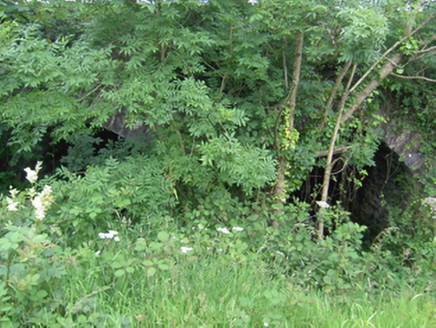 Annacarton BridgeBridge · 1309 yd
 kiln1588 yd
 AshtongroveCountry house · 1714 yd
 Ballingohig BridgeBridge · 1.1 mi
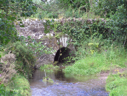 Trantstown BridgeBridge · 1.2 mi
 Sing Sing PrisonMonument · 1.2 mi
 Ladys WellHoly well · 6.3 mi
 Lavitts QuayMemorial · 6.6 mi
 European Yew24 miEuropean Yew24 mi
More archaeology and monuments in County Cork · All of County Cork
What do you know about this place?