
What is recorded here
From the National Monuments Service (Archaeological Survey of Ireland) record CO086-027
Places near here
Photo credits
- Maker not stated on source page, www.tripadvisor.com.sg
- Maker not stated on source page, www.dreamstime.com
- Maker not stated on source page, www.flickr.com
- Maker not stated on source page, storage.googleapis.com
- Maker not stated on source page, www.pinterest.ca
- National Inventory of Architectural Heritage
- Rogue29567, Wikimedia Commons · CC BY-SA 4.0
- Mike Searle, Geograph · CC BY-SA 2.0
- Barryroe GAA club archive; individual photographer not named, www.barryroegaa.ie
 Saint John's CemeteryCemetery · 880 yd
Explorer Tom Saint John's Cemetery would be the uncle at the wedding who stands in the corner eating sandwiches and judging everyone…
 Fairy fort / earthen ringfort in BallinreaFairy fort / earthen ringfort · 940 yd
Explorer Tom Fairy fort / earthen ringfort in Ballinrea sits on a ridge with a standing stone neighbour who definitely hears…
 Church in KilnahoneChurch · 1482 yd
Explorer Tom Church in Kilnahone in County Cork claims its best friend is a very famous ghost from the Victorian era, but nobody has…
 Standing stone in Ballinrea SouthStanding stone · 1547 yd
Explorer Tom A stone in Ballinrea South was buried because someone tried to break it up and failed spectacularly around 1990. The…
 Cork District Cemetery (1949-50)Graveyard · 1.1 mi
Explorer Tom Cork District Cemetery is up on Carrs Hill, looking down on the road like it’s judging your life choices. It was…
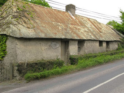 Historic buildingOfficially recorded historic building · 1.2 mi
Explorer Tom Historic building in Killanully is a vacant vernacular house from around 1790 with a corrugated-iron roof that was…
 Fairy fort / earthen ringfort in CastletreasureFairy fort / earthen ringfort · 1.2 mi
Explorer Tom Fairy fort in Castletreasure would do absolutely fine on a reality show; it has great drama, zero windows, and a secret…
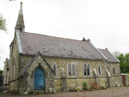 church/chapel1.3 mi
Explorer Tom The Church in Killanully is pretending to be a house now, but it’s still wearing its Victorian polychrome makeup from…
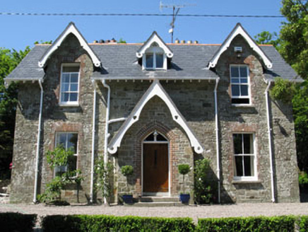 rectory/glebe/vicarage/curate's house1.3 mi
Explorer Tom Rectory in Killanully is showing off its Victorian brick and timber details. Built around 1865, it’s got a nice porch…
 Ballea Bridge (Upper)Bridge · 1.4 mi
Explorer Tom Ballea Bridge (Upper) has a family tree mostly made up of bridges that don’t exist. It fits seamlessly into the…
 Ballea CastleCastle, tower house · 1.5 mi
Explorer Tom Ballea Castle in Ballea sits on a cliff above the Owenboy River. The FitzGeralds built it back in 1439, and it’s been…
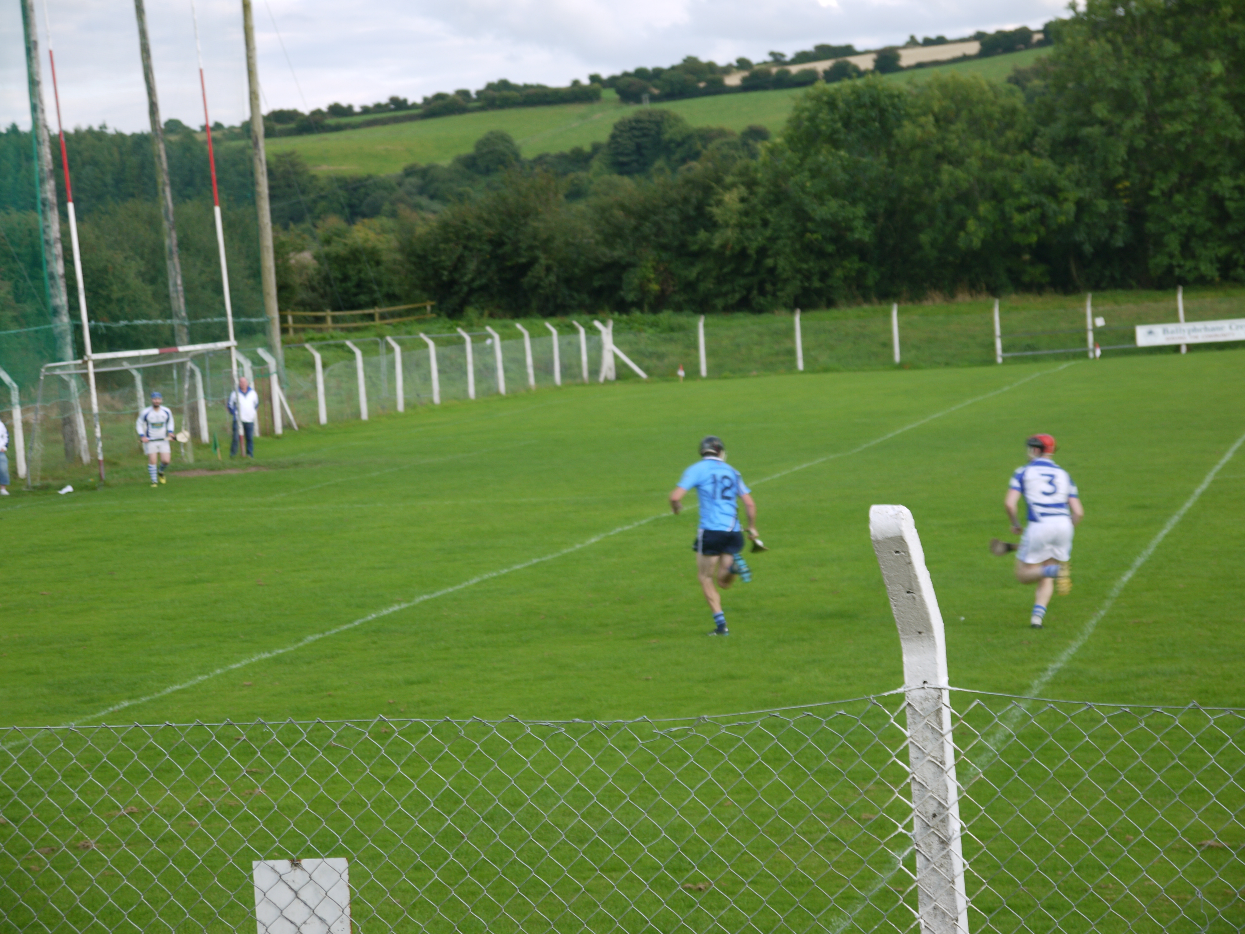 Páirc Liam Mhic Cárthaigh, BallygarvanGAA ground · 1.5 mi
More archaeology and monuments in County Cork · All of County Cork

What do you know about this place?Tap to add a comment or ask a question