
What is recorded here
Single-arch limestone road bridge, built c.1820, spanning the Owenboy River. Rubble limestone walls with recent concrete repairs, having render coping to parapet walls. Round-headed arch with ashlar limestone voussoirs. Recent mechanical sluice gate to southern bank of waterway. Operating apparatus to south-east encased in concrete block structure. Recent solar panel along southern arch.
A finely constructed bridge which is a reminder of the skill of its builders and designer. The use of local materials allows it to fit almost seamlessly into the landscape.
From the Buildings of Ireland (National Inventory of Architectural Heritage) record 20908641
This does not grant access. Most recorded buildings are privately owned; view them only from public ground unless the owner allows entry.
Places near here
Photo credits
- Mike Searle, Geograph · CC BY-SA 2.0
- National Inventory of Architectural Heritage
- Rogue29567, Wikimedia Commons · CC BY-SA 4.0
- MonikaLisa2, Wikimedia Commons · CC BY-SA 4.0
- Michael O'Sheil, Wikimedia Commons · CC BY-SA 4.0
- P L Chadwick, Wikimedia Commons · CC BY-SA 2.0
 Ballea CastleCastle, tower house · 289 yd
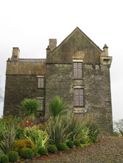 Ballea CastleCastle/fortified house · 313 yd
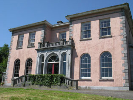 RavenswoodHouse · 608 yd
 Ballea Bridge (Lower)Bridge · 688 yd
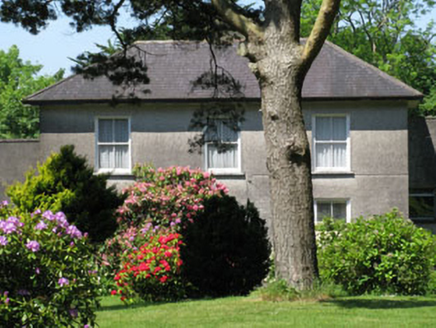 Knockmore HouseHouse · 1345 yd
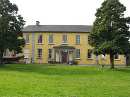 Kilmoney AbbeyCountry house · 1662 yd
 Kilmoney BridgeBridge · 1.0 mi
 Historic buildingOfficially recorded historic building · 1.2 mi
 Kilmoney HouseHouse · 1.2 mi
 Burial ground in Cork CityBurial ground · 5.2 mi
 Father MatthewMonument · 5.8 mi
 Lavitts QuayMemorial · 5.8 mi
More historic places in County Cork · All of County Cork
What do you know about this place?