What is recorded here
Cork District Cemetery sits atop Carrs Hill beside the Carrigaline-Cork road, holding paupers buried during the famine after the Carr family donated the land. Stone walls enclose most of the rectangular pasture, yet no graves break the grass except a large metal cross at the west end. The absence of visible markers does not empty the place; it suggests rows of forgotten bodies beneath the surface, waiting for rain or memory to reveal them.
In pasture, atop Carrs Hill on E side of Carrigaline-Cork road. Subrectangular area (c. 40m N-S; c. 150m E-W) enclosed by stone walls to S, E and W; field fence to N; disused. No surface evidence for burials. Large metal cross at W end. Land donated by Carr family during famine, to allievate St. Joesph's cemetery (CO074-102---) and consecrated 'All Saints Cemetery' (Foley 1991, 97). Known locally as "The Paupers Graveyard".
The above description is derived from the published 'Archaeological Inventory of County Cork. Volume 2: East and South Cork' (Dublin: Stationery Office, 1994). In certain instances the entries have been revised and updated in the light of recent research.
Date of upload/revision: 14 January 2009
The monument record does not grant public access. Check the route and ask the landowner before entering private land.
- What survives
- Recorded monument
Places near here
 Pauper's GraveyardArchaeological place · 15 yd
 CrossMonument · 15 yd
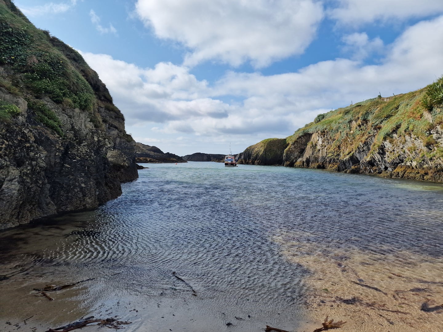 Enclosure in BallinreaEnclosure · 1000 yd
 Castle Treasure (Site of)Castle, unclassified · 1360 yd
 KilnKiln, corn-drying · 1485 yd
 Country house in CastletreasureCountry house · 1552 yd
 Mulcon ValleyWood · 1.1 mi
 Ballybrack WoodsWood · 1.4 mi
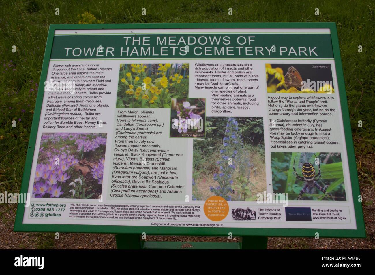 Wildlife and plant information boardsVisitor information · 1.7 mi
 Grey GalleryGallery · 1.8 mi
 Ronayns CourtHouse, fortified house · 1.8 mi
 Be Framed Fine Art GalleryGallery · 2.1 mi