
What is recorded here
This stone-lined kiln feature was excavated in advance of a housing development in Moneygurney townland in 2004. Excavation revealed a N-S orientated keyhole-shaped kiln (L 3m; max. Wth 1.8m; D 0.7m). The kiln comprised a flat-based stone-lined bowl area (1.6m E-W x 1.4m N-S) and a flat-based stone-lined flue (L 1.6m; Wth 0.4m; D 0.5m) which extended from the N end of the bowl. The only evidence of in situ burning in the flue was at the N end where a thin lens of charcoal was uncovered. An E-W orientated, stone-lined, L-shaped feature (3m E-W; max. Wth 1.4m; D 0.65m) was identified at the W end of the bowl area. According to the excavator (Lane 2004b), this appeared to have been the original flue. The base of the feature was flat and was oxidised to a bright red colour, indicating in situ burning. Two small fragments of iron slag and a whetstone fragment were included in the uppermost fill of the feature and occasional inclusions of small fragments of burnt bone were found in the basal fill. The subsoil beneath this basal layer was oxidised, indicating in situ burning. According to the Lane (ibid.), the presence of iron slag and burnt bone suggested that the kiln might also have functioned as a cooking and metalworking feature. A round-bottomed pit (3m N-S x 1.7m E-W; D 0.65m), that may have had a storage function, was uncovered at a distance of 1.5m to the W of the L-shaped feature. There is a levelled rath (CO086-015----) c. 30m to the SW and, according to Lane (ibid.), the physical proximity of the kiln to the rath, suggests that they may have been contemporary. (Lane 2004b)
The above description is derived from 'The Archaeological Inventory of County Cork. Volume 5' (Dublin: Stationery Office, 2009).
Date of upload: 22 December 2009
The monument record does not grant public access. Check the route and ask the landowner before entering private land.
- What survives
- Recorded monument
Places near here
 BroadaleCountry house · 603 yd
 Mulcon ValleyWood · 837 yd
 Hill Housegates/railings/walls · 1153 yd
 Pauper's GraveyardArchaeological place · 1483 yd
 CrossMonument · 1493 yd
 Ronayns CourtHouse, fortified house · 1730 yd
 Castle Treasure (Site of)Castle, unclassified · 1731 yd
 IndicatedFairy fort / earthen ringfort · 1.0 mi
 Ballybrack WoodsWood · 1.2 mi
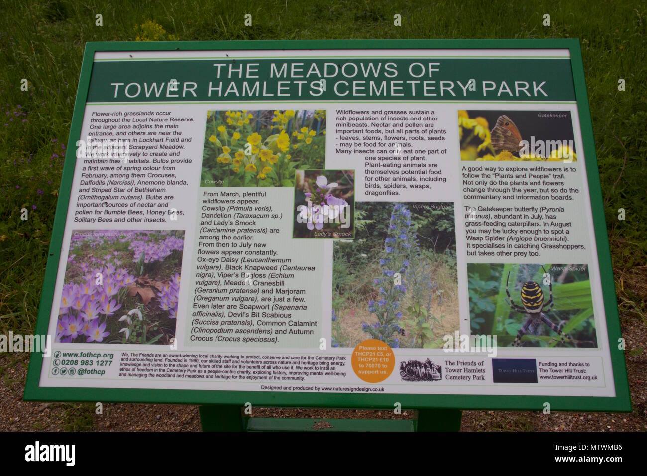 Wildlife and plant information boardsVisitor information · 1.4 mi
 Grey GalleryGallery · 1.4 mi
 Goat IslandIslet · 1.6 mi
Other information
Photo: Credit not shown in the picture search · Rights wording not checked; contact us if this picture should be removed