What is recorded here
Beside a farmhouse on the S side of a road, on a S-facing slope overlooking the valley of the Owenboy River. According to O'Leary (1918, 119), 'the cill site, which was found with much difficulty, is in the SW angle of the townland, on White's farm'. There are no visible remains of the church.
The above description is derived from the published 'Archaeological Inventory of County Cork. Volume 2: East and South Cork' (Dublin: Stationery Office, 1994). In certain instances the entries have been revised and updated in the light of recent research.
Date of upload/revision: 14 January 2009
This remains an important historical record, but the official description says the monument is no longer visible or has been destroyed. The monument record does not grant public access. Check the route and ask the landowner before entering private land.
- What survives
- No visible remains or recorded as destroyed
Places near here
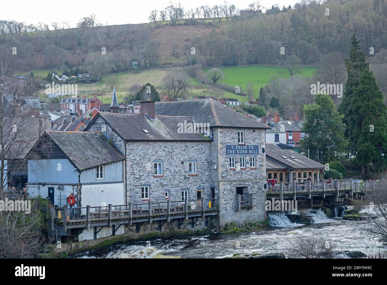 Corn Mill (in Ruins)Mill, corn · 751 yd
 IndicatedEnclosure · 780 yd
 Ballea Bridge (Upper)bridge · 1070 yd
 Lios (Ring Fort)Archaeological place · 1095 yd
 Ballea CastleCastle, tower house · 1229 yd
 Pauper's GraveyardArchaeological place · 1.8 mi
 Meadstown Castle (Site of)Castle, unclassified · 1.8 mi
 Be Framed Fine Art GalleryGallery · 3.3 mi
 St Laitiarain's WellSpring · 4.6 mi
 Cork WalksVisitor information · 5.2 mi
 Lavitts QuayMemorial · 5.3 mi
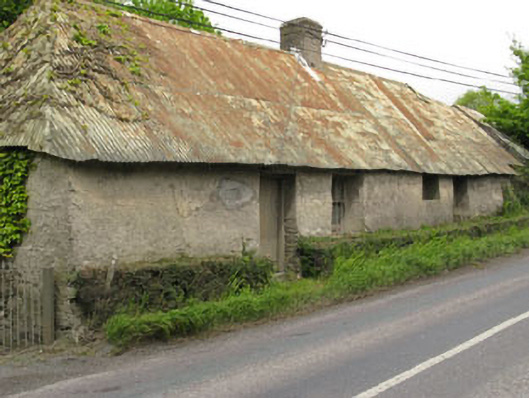 Historic buildingOfficially recorded historic building · 1283 yd