What is recorded here
In pasture, located on a spur of raised ground projecting to S from an E–W ridge/esker. A circular enclosure (diam. c. 35m) is shown on the 1838 OS 6-inch map; by the time of the 1916 edition the S half of the enclosure has been truncated by the construction of a railway and a railway ballast pit encroaches on the W side of the enclosure.
The remains consists of a central, roughly oblong platform (13.3m E–W; c. 15m N–S to railway cutting) defined by a scarp (H 1.2m at W, 1.8m at E), which drops to an enclosing terrace/berm, outside which is second terrace.
The platform scarp is well defined at both E and W but at NE–NW it is greatly diminished and at N is almost flush with the outer terrace (Wth 4-5m), which encloses the central platform. The terrace is defined at its outer edge by a steep, pronounced scarp (H c. 2m) which drops to the second enclosing terrace (Wth 2m at E, 2.8m at W). The outer edge of this lower terrace is topped at W–NW by a low sod-covered stony bank (Wth 3.3m; int. H 0.25m; ext. H 0.5m). Outside this lies the ballast pit, with an intervening gap of 2-3m, except at NW where the pit truncates the bank. At N–SE the scarp of the lower terrace has been incorporated into a stone-faced field fence (ext. H 1.2m).
The railway had already been constructed when the enclosure was visited in the early 1900’s by Knox (1911, 235-237). He noted a raised area to S of the railway cutting which he considered might be part of the enclosure; no trace of this is now evident. Knox called the enclosure ‘The terraced rath’, and suggested that it might have been ‘of the nature of a high mote, a defensive residential work’.
This enclosure appears to have been scarped out of the ridge. The narrowness of the central platform is unusual. The original form and function of this enclosure is now uncertain; the railway cutting destroyed possibly a third of its original extent.
Compiled by: Jane O’Shaughnessy
Date of upload: 29 June 2022
The monument record does not grant public access. Check the route and ask the landowner before entering private land.
- What survives
- Recorded monument
Places near here
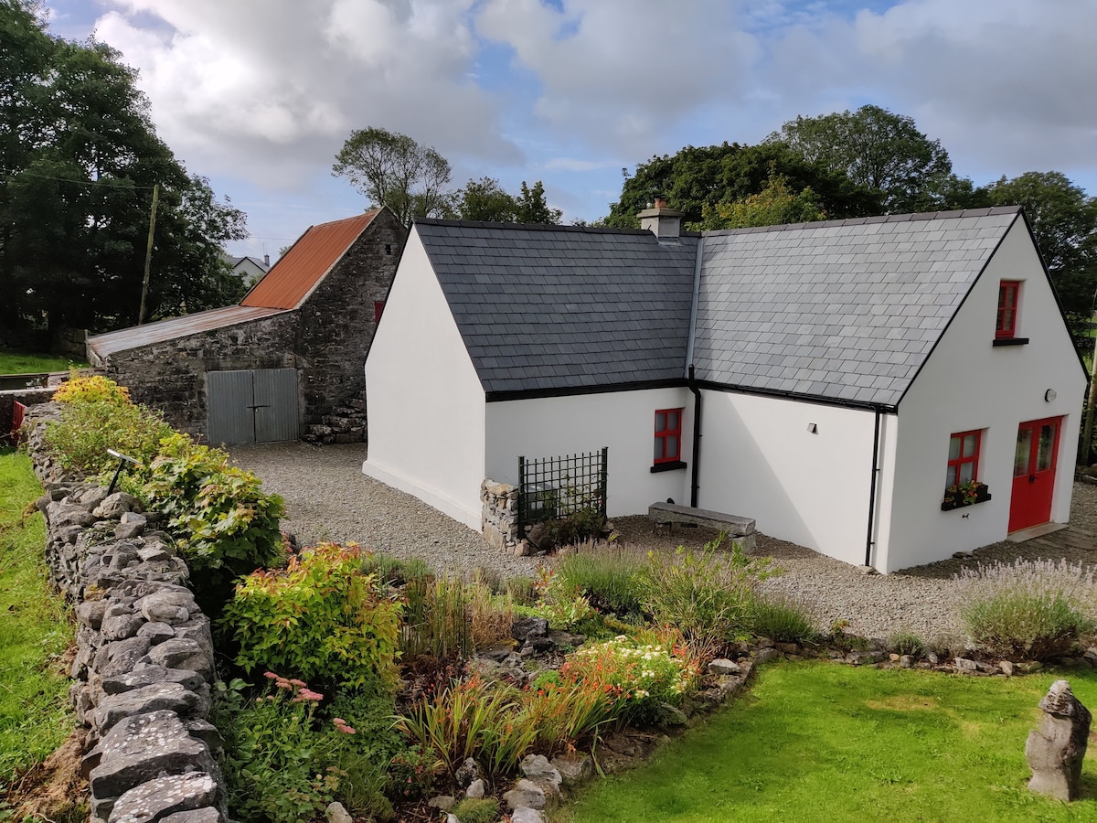 Enclosure in DevlisEnclosure · 382 yd
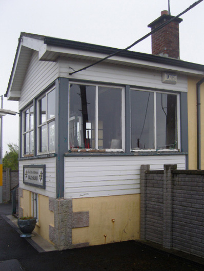 Ballyhaunis Railway Stationsignal box · 853 yd
 bridgebridge · 1037 yd
 Enclosure in KilmanninEnclosure · 1738 yd
 CastleCastle, unclassified · 5.2 mi
 Rath Castle in ruinsCastle, tower house · 6.3 mi
 East Mayo Brigade MonumentMemorial · 8.2 mi
 Oak WoodForest · 11 mi
 Thorn CaveCave · 13 mi
 Site of Killomaine Grave YardArchaeological place · 14 mi
 European ashEuropean ash · 16 mi
 Mass RockNamed rock · 18 mi