What is recorded here
Marked as a large wooded enclosure on the 1839 (dims. c. 150m N-S; c. 125m E-W) and 1940 (dims. c. 135m N-S; c. 100m E-W) eds of the OS 6-inch map, and situated towards the top of an E-facing slope at the N end of a NE-SW ridge. This was a wood of mature deciduous trees that has now been removed.
Compiled by: Michael Moore
Date of upload; 1 August, 2012
The monument record does not grant public access. Check the route and ask the landowner before entering private land.
- What survives
- Recorded monument
Places near here
 Site of Arnestown CastleCastle, unclassified · 310 yd
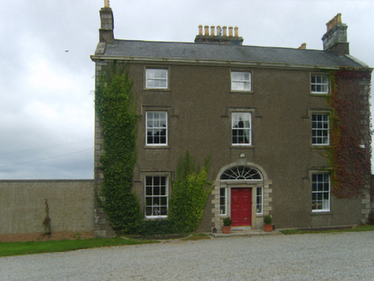 Talbot Hallcountry house · 399 yd
 Fulacht fia in Arnestown (bantry By.)Fulacht fia · 861 yd
 Fulacht fia in RyleenFulacht fia · 947 yd
 Rosevillefarm house · 1072 yd
 Crutched FriarsMemorial · 1.4 mi
 O'NeillMemorial · 1.5 mi
 Ros Tapestry ExhibitionGallery · 1.5 mi
 Dunbrody Famine Ship Visitor CentreHeritage attraction · 1.5 mi
 Lacken HillMountain / peak · 1.6 mi
 Forest Of The DunbrodyForest · 1.8 mi
 Site of CastleCastle, unclassified · 2.0 mi