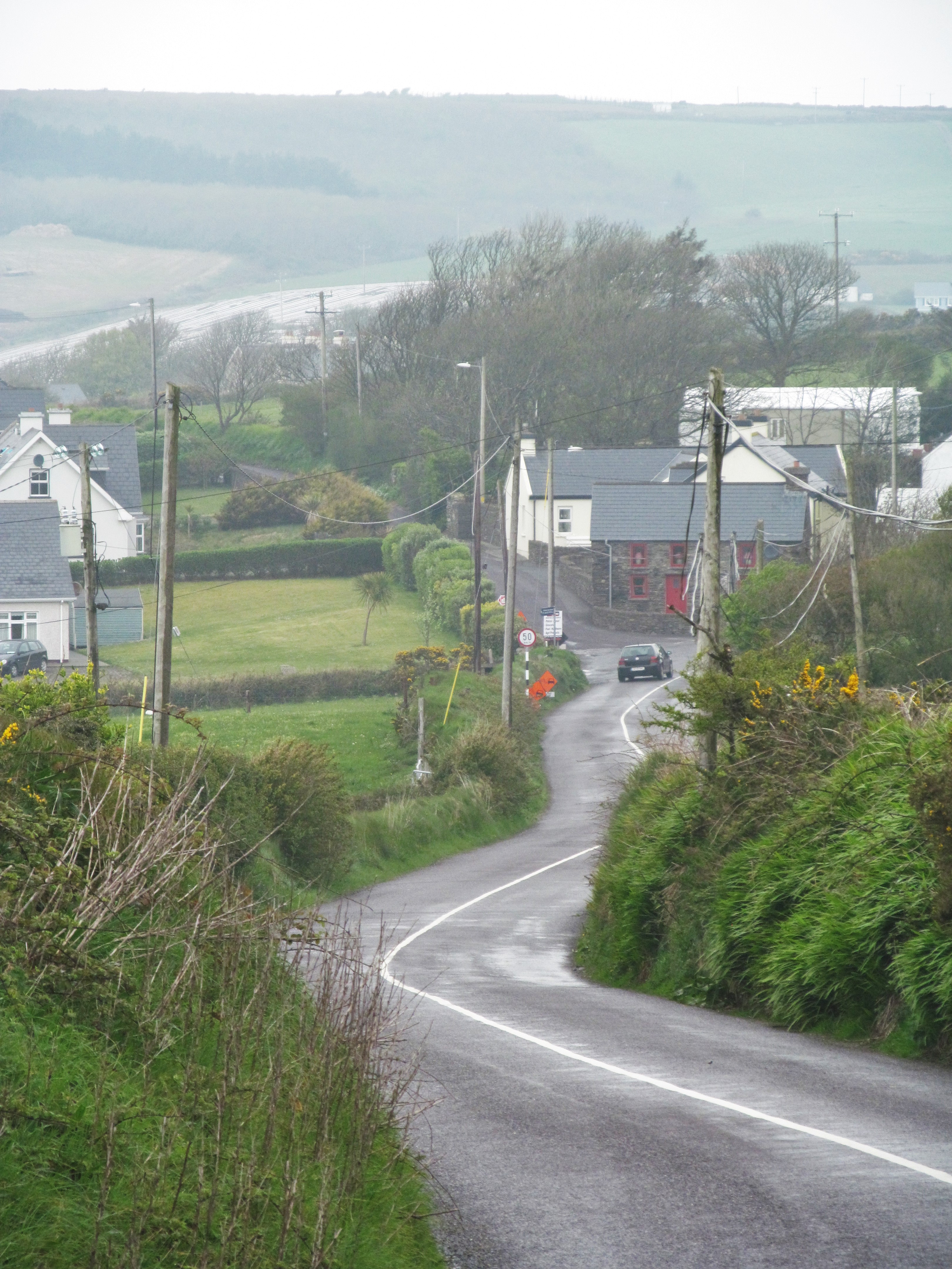
What is recorded here
Indicated is a vanished fairy fort in County Cork, reduced to a shallow thirty-eight-metre circle on a south-facing slope where a field fence still bends around its ghost. It sits beside a graveyard and standing stone, suggesting the boundary between human death and fairy life once pressed close together. The land may have swallowed the fort, or the fort may have withdrawn into the hill, leaving only a dip the fence avoids.
In pasture, on S-facing slope. Levelled. Circular area (diam. c. 38m N-S) defined by low rise. Field fence (max. ext. H 1.5m) curves N->S to respect enclosure. Graveyard (CO045-09601-) and standing stone (CO045-09602-) in same field to E.
The above description is derived from the published 'Archaeological Inventory of County Cork. Volume 2: East and South Cork' (Dublin: Stationery Office, 1994). In certain instances the entries have been revised and updated in the light of recent research.
Date of upload/revision: 14 January 2009
The monument record does not grant public access. Check the route and ask the landowner before entering private land.
- What survives
- Recorded monument
Places near here
 Burial Ground (Disused)Burial ground · 185 yd
 St Bridgets WellHoly well · 1061 yd
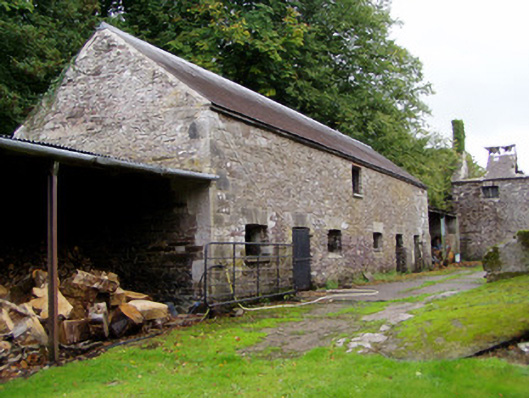 Ballyvolane Housefarmyard complex · 1091 yd
 KilnKiln, lime · 1239 yd
 Castle (Site of)Castle, unclassified · 1.5 mi
 Graveyard in KillasseraghGraveyard · 2.1 mi
 Castle (in Ruins)Castle, tower house · 2.2 mi
 Aghern CemeteryWood · 2.3 mi
 Rathcormac massacremassacre · 3.8 mi
 Coole WellVisitor information · 3.9 mi
 Castlebrook forestWood · 4.0 mi
 Pope's WellSpring · 4.5 mi
Other information
Photo: Credit not shown in the picture search · Rights wording not checked; contact us if this picture should be removed