
What is recorded here
In pasture, on NE-facing slope. Circular area (27.8m N-S; 29m E-W) enclosed by low scarp (ext. H 1.35m) N->S; low earthen bank (ext. H 0.2m; int. H 0.5m) S->N. External line of retaining stones set edge to edge (H 0.4m) N->SE; occurring irregularly SE->N. Standing stone (CO045-096002-) set radially in bank to SE. Interior level; slightly raised on E side and cut into hillslope on W side; some possible grave-markers noted. Known locally as famine burial ground. Still used for burial of unbaptised infants in Powers time (1917, 28).
The above description is derived from the published 'Archaeological Inventory of County Cork. Volume 2: East and South Cork' (Dublin: Stationery Office, 1994). In certain instances the entries have been revised and updated in the light of recent research.
Date of upload/revision: 14 January 2009
The monument record does not grant public access. Check the route and ask the landowner before entering private land.
- What survives
- Recorded monument
Places near here
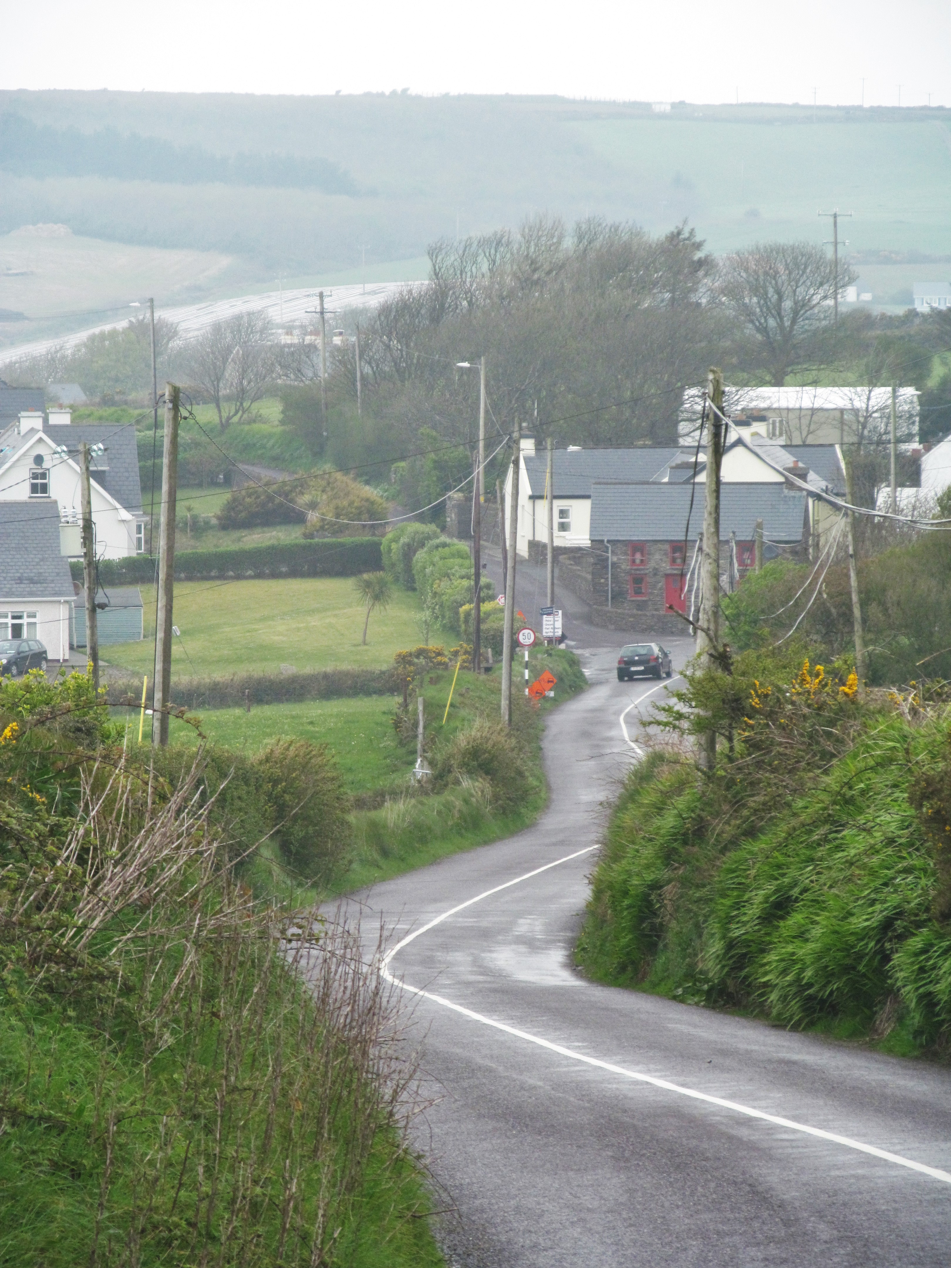 IndicatedFairy fort / earthen ringfort · 185 yd
 KilnKiln, lime · 1111 yd
 St Bridgets WellHoly well · 1153 yd
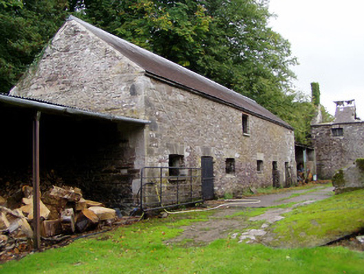 Ballyvolane Housefarmyard complex · 1267 yd
 Castle (Site of)Castle, unclassified · 1.5 mi
 Graveyard in KillasseraghGraveyard · 2.1 mi
 Castle (in Ruins)Castle, tower house · 2.2 mi
 Aghern CemeteryWood · 2.3 mi
 Coole WellVisitor information · 3.9 mi
 Castlebrook forestWood · 3.9 mi
 Rathcormac massacremassacre · 3.9 mi
 Graveyard in Curraheen (kinnatalloon By.)Graveyard · 4.5 mi
Other information
Photo: Credit not shown in the picture search · Rights wording not checked; contact us if this picture should be removed