
Places near here
Photo credits
- Eric Jones, Geograph · CC BY-SA 2.0
- Eric Jones, Geograph · Creative Commons Attribution-ShareAlike 2.0
- National Inventory of Architectural Heritage
- Andreas F. Borchert, Wikimedia Commons · CC BY-SA 4.0
- Kmcnamee, Wikimedia Commons · CC BY-SA 4.0
- LouthHeritage, Wikimedia Commons · CC BY-SA 4.0
- Dundalk99, Wikimedia Commons · CC BY-SA 4.0
- Garry Dickinson, Geograph · CC BY-SA 2.0
 Church (in Ruins)Church · 15 yd
Explorer Tom Church in Ardpatrick would write 'Looking for someone who doesn't mind a bit of ruin' on its dating profile, since St…
 Catholic Church of the Immaculate ConceptionChurch/chapel · 843 yd
Explorer Tom The Catholic Church of the Immaculate Conception is where smugglers hid their contraband behind the altar, allegedly.…
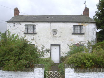 Old School HouseHouse · 959 yd
Explorer Tom Old School House in Richard Taaffes Holding has very strong opinions about modern buildings, specifically that they’re…
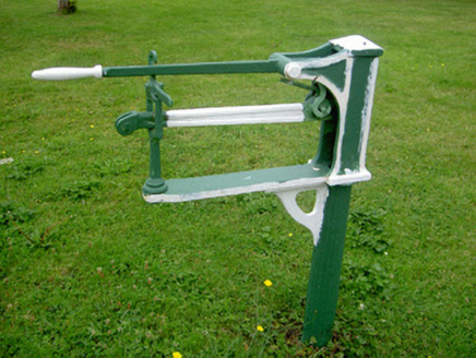 weighbridge/weighhouse, water pump1009 yd
Explorer Tom Weighbridge or weighhouse, water pump in Priorstate saw a man once try to weigh his own ego and nearly topple over. The…
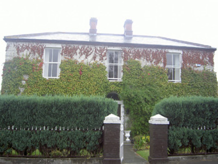 Louth HouseHouse · 1010 yd
Explorer Tom Louth House gave up chocolate for Lent but kept its love for showing off its original windows and doors. The Taaffe…
 Louth Abbey in RuinsReligious house, Augustinian canons · 1168 yd
Explorer Tom Louth Abbey in Ruins had a feud with the next village over something daft, probably the bread. Only parts of the church…
 St. Mochtas GAA, LouthGAA ground · 1219 yd
 The Monks HouseChurch · 1233 yd
Explorer Tom The Monks House is where a priest lost a bet and now has to sleep in the roof croft forever. It’s a single-celled…
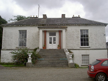 Corderry HouseCountry house · 1.8 mi
Explorer Tom Corderry House ended up in the wrong place because the mapmaker had a bit too much tea. The stone outbuildings are…
 Dundalk CentralHeritage attraction · 6.2 mi
Explorer Tom Dundalk Central in County Louth would be the uncle at a wedding who knows all the train schedules but forgets his own…
 Castletown MotteArchaeological place · 6.2 mi
Explorer Tom Castletown Motte has squeezed a fort, an underground passage and a rich man's folly onto one Dundalk hill. No wonder it…
 CastleCastle, tower house · 6.5 mi
Explorer Tom Castle in Castletown ended up here because Richard Bellew got confused about which side of town was cool. It’s a tower…
More archaeology and monuments in County Louth · All of County Louth

What do you know about this place?Tap to add a comment or ask a question