
Places near here
Photo credits
- Kmcnamee, Wikimedia Commons · CC BY-SA 4.0
- National Inventory of Architectural Heritage
- Andreas F. Borchert, Wikimedia Commons · CC BY-SA 4.0
- Colin Park, Geograph · CC BY-SA 2.0
- Oliver Dixon, Geograph · CC BY-SA 2.0
- Easkey GAA (official club account publisher); individual photographer not named, x.com
- Michael Murtagh, Geograph · CC BY-SA 2.0
- Dieglop, Wikimedia Commons · CC BY-SA 4.0
 St. Farnan's Park, TempleboyGAA ground · 553 yd
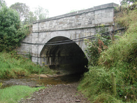 bridge662 yd
Explorer Tom Bridge in Ardkill is pretending it has an imaginary twin across the sea, but I bet you that ghost bridge is just…
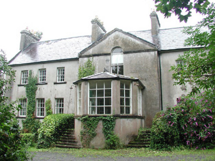 DoonycoyCountry house · 722 yd
Explorer Tom Doonycoy is a big country house with outbuildings that have an almost ecclesiastical feel, which is just plain weird…
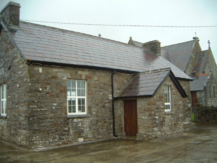 Templeterrace National SchoolSchool · 732 yd
Explorer Tom Templeterrace National School has a long-standing grudge against the weather, blaming every crack in its local stone on…
 Catholic Church of the Immaculate ConceptionChurch/chapel · 743 yd
Explorer Tom The Catholic Church of the Immaculate Conception in Lugdoon would write 'Looking for a partner with great stonework and…
 Donaghintraine BridgeBridge · 1.9 mi
Explorer Tom Donaghintraine Bridge in Ballygilcash has a tall arch that gives it a simple elegance I can’t quite explain. It’s built…
 Split RockNamed rock · 4.7 mi
Explorer Tom Split Rock in County Sligo is the shortcut that isn't one, because nobody actually walks through the split. It’s just a…
 Cooanmore PointHeadland · 5.6 mi
Explorer Tom Cooanmore Point in County Sligo makes a sound at night like an old accordion being played by someone who’s just learned…
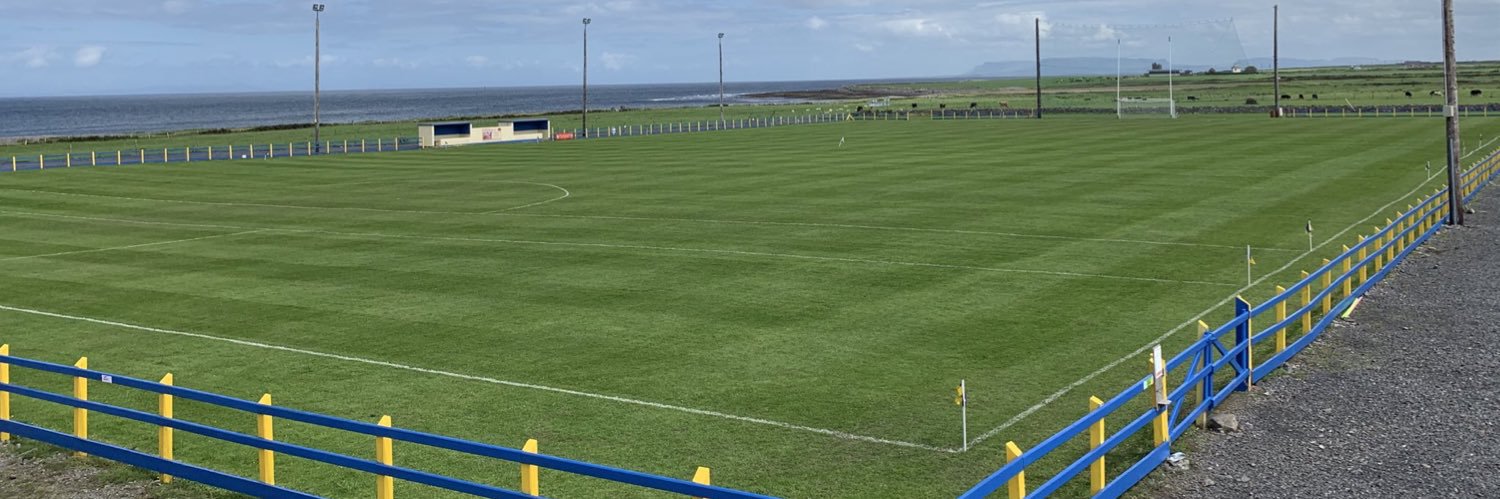 Easkey GAAGAA ground · 7.2 mi
 CrockaunsMountain / peak · 19 mi
Explorer Tom Crockauns bragged about surviving a storm so violent it rearranged its own topography and sent the local cows into a…
 Glencar IslandIslet · 19 mi
Explorer Tom Glencar Island in County Leitrim would complain to the council about the noise levels from the swans, claiming they’re…
 Glencar WaterfallVisitor information · 19 mi
Explorer Tom Glencar Waterfall in County Leitrim gave up sugar for Lent but ended up eating a whole wheel of cheese instead anyway.…
More archaeology and monuments in County Sligo · All of County Sligo

What do you know about this place?Tap to add a comment or ask a question