
More pictures of this place


What is recorded here
A graveyard can hold the story of a whole place. Set in grounds, bitmac driveways, grass areas, twentieth-century grave markers in lawn to north-east, bounded by rubble stone walls, wrought-iron gates to north, former school to south-west.
Detached stone Roman Catholic church, built c. 1870. Cruciform plan, five-bay nave with breakfront to north gable, two-bay transepts projecting to east and west, slightly projecting chancel to south, single-storey gable-fronted porches to north sides of transepts, single-storey pitched roof sacristy to south-west. Pitched slate roofs, clay roll-top ridge tiles, chamfered ashlar stone verges with wrought-iron finials to transepts, porches and sacristy, stone cross to chancel, bellcote with bell to north gable, half-round cast-iron gutters on exposed rafter ends, single ashlar limestone chimneystack to sacristy. Uncoursed rubble limestone walling, buttresses with splayed caps to transepts, porches and nave, splayed plinths. Lancet window openings, in groups of three to north gable and chancel, ashlar limestone dressings, flush sills, stained-glass leaded-lights, secondary glazing. Oculus cinque-foil window openings in north and south elevations and gables of transepts, leaded-light glazing. Pointed-arch door openings to north elevations of transepts and nave, ashlar limestone surrounds, hood-moulding to nave door, hardwood vertically-sheeted double doors. Set in grounds, bitmac driveways, grass areas, twentieth-century grave markers in lawn to north-east, bounded by rubble stone walls, wrought-iron gates to north, former school to south-west.
Set in grounds, bitmac driveways, grass areas, twentieth-century grave markers in lawn to north-east, bounded by rubble stone walls, wrought-iron gates to north, former school to south-west.
This exceptionally-handsome church exhibits a high level of craftsmanship in its stonework, stained glass leaded-light windows and wrought-iron finials.
The story behind this place
Set in grounds, bitmac driveways, grass areas, twentieth-century grave markers in lawn to north-east, bounded by rubble stone walls, wrought-iron gates to north, former school to south-west.
This does not grant access. Most recorded buildings are privately owned; view them only from public ground unless the owner allows entry.
Places near here
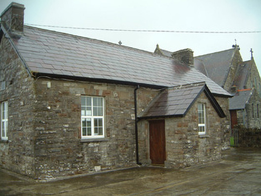 Templeterrace National Schoolschool · 34 yd
 IndicatedFairy fort / earthen ringfort · 411 yd
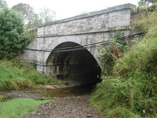 bridgebridge · 988 yd
 CastleCastle, tower house · 992 yd
 Enclosure in LugdoonEnclosure · 1242 yd
 DonaghHeadland · 2.4 mi
 Site of Dunneill CastleCastle, unclassified · 2.6 mi
 Aughris HeadHeadland · 2.8 mi
 Aughris BeachBeach / strand · 2.9 mi
 Dunmoran StrandBeach / strand · 3.5 mi
 Knockalongy North-East TopMountain / peak · 3.9 mi
 KnockalongyMountain / peak · 3.9 mi
Other information
Photo: Andreas F. Borchert · CC BY-SA 4.0