What is recorded here
On a low rise in well-drained pasture. Indicated as an irregularly enclosed tree copse on the 1837 edition of the OS 6-inch map. Depicted on the 1911-12 edition as a tree-planted trapezoidal enclosure. The monument has been levelled and is not visible at ground level. As it is situated in demesne lands and was planted with trees it may have been a landscape feature.
Compiled by: Patrick F. O'Donovan
Date of upload: 18 January 2012
The monument record does not grant public access. Check the route and ask the landowner before entering private land.
- What survives
- Recorded monument
Places near here
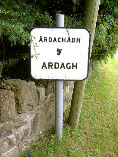 sign postsign post · 268 yd
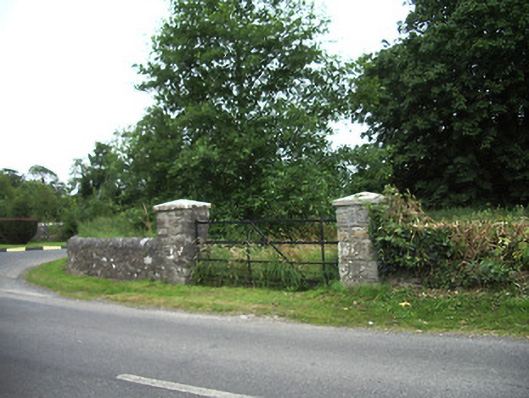 demesne walls/gates/railingsdemesne walls/gates/railings · 671 yd
 Ardagh DemesneFort · 705 yd
 Ardagh Clock TowerMonument · 1032 yd
 Burial in Back OF THE HillBurial · 1131 yd
 Oldtown CopseWood · 1.2 mi
 Oldtown DemesneForest · 1.3 mi
 Druming Ho. (in ruins)Castle, unclassified · 1.4 mi
 National Famine WayWalking route · 3.2 mi
 Graveyard in Curry (ardagh By., Coolamber Ed)Graveyard · 5.5 mi
 Saint Mel's CathedralCathedral · 5.7 mi
 First World War MemorialMemorial · 5.7 mi