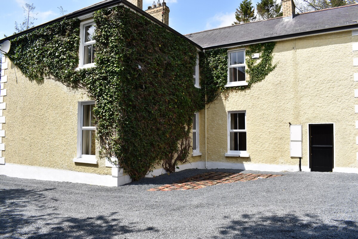
What is recorded here
Located on top of a low hill. This is a circular grass-covered area (diam. 42.5m NW-SE; 41m NE-SW) defined by an earthen bank (Wth of base c. 3m; int. H c. 0.5m; ext. H 1.4m at N to 2.2m at S) and hedge W-NNE, which is reduced to a scarp and hedge elsewhere, and an outer fosse (Wth of top c. 2.2m; ext. D 0.6-1.2m) SW-N-NE. There is an entrance (Wth 1.5m) at NNE but the original entrance is likely to be that (Wth of base 2.4m) at ESE.
The above description is derived from the published 'Archaeological Inventory of County Monaghan' (Dublin: Stationery Office, 1986). In certain instances the entries have been revised and updated in the light of recent research.
Revised by: Michael Moore
Date of revision: 4 May 2018
The monument record does not grant public access. Check the route and ask the landowner before entering private land.
- What survives
- Recorded monument
Places near here
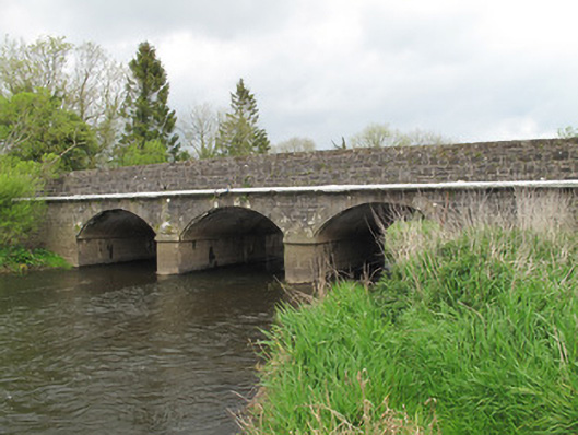 Annies Bridgebridge · 820 yd
 Mullaghmore WoodWood · 1026 yd
 European ashEuropean ash · 1109 yd
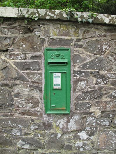 post boxpost box · 1164 yd
 ENCLOSURE in Cloncloghy; Sheepwalk; TievegarrowENCLOSURE · 1.2 mi
 Embanked enclosureFairy fort / earthen ringfort · 1.4 mi
 Ulster Canal Stores Visitor CentreHeritage attraction · 2.1 mi
 SandhillsMountain / peak · 2.2 mi
 CastleCastle, motte and bailey · 2.3 mi
 The Cassandra Hand CentreMuseum · 2.3 mi
 LattacrossanMountain / peak · 2.9 mi
 Saint John's WellSpring · 3.5 mi
Other information
Photo: Credit not shown in the picture search · Rights wording not checked; contact us if this picture should be removed