What is recorded here
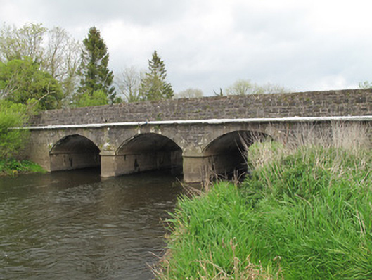
Annies Bridge in Annies replaced stepping stones across the River Finn with three proper arches. Before that, arriving on the far bank with your dignity intact depended on your shortest leg and how honestly the fellow ahead described the next gap.
Triple-arch bridge, built c.1860, carrying road over River Finn, replacing earlier stepping stone crossing. Segmental arches, with dressed sandstone voussoirs and gunnelled soffits. Dressed stone V-shaped cutwaters having stone plat-bands. Roughly coursed, snecked and squared stone to spandrels and parapet walls, with…
Read the whole record
Triple-arch bridge, built c.1860, carrying road over River Finn, replacing earlier stepping stone crossing. Segmental arches, with dressed sandstone voussoirs and gunnelled soffits. Dressed stone V-shaped cutwaters having stone plat-bands. Roughly coursed, snecked and squared stone to spandrels and parapet walls, with squared stone copings, curving out to each side to east.
The work of skilled craftsmen is displayed in this bridge, particularly in the execution of the stone work to the voussoirs and cutwaters, which make it visually appealing. Retaining its original form, it highlights the achievements of nineteenth-century civil engineering, which had sufficiently advanced to build wider and more substantial bridges, and makes an important contribution to the surrounding landscape. It is of additional social and political significance as it crosses the border between the two jurisdictions on the island.
From the Buildings of Ireland (National Inventory of Architectural Heritage) record 41401611
Places near here
Photo credits
- National Inventory of Architectural Heritage
- Willow, Wikimedia Commons · CC BY 2.5
- Sitomon, Wikimedia Commons · CC BY-SA 2.0
- Kenneth Allen, Geograph · CC BY-SA 2.0
- Andreas F. Borchert, Wikimedia Commons · CC BY-SA 4.0
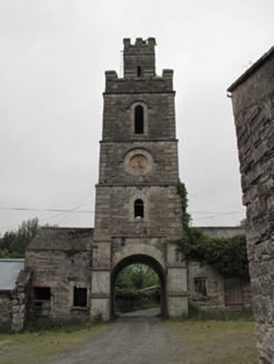 Hilton ParkBell tower/stand · 1622 yd
 European ash1648 yd
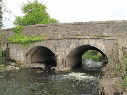 Carra Old BridgeBridge · 1666 yd
 European Yew1680 yd
 SandhillsMountain / peak · 2.0 mi
 Ulster Canal Stores Visitor CentreHeritage attraction · 2.3 mi
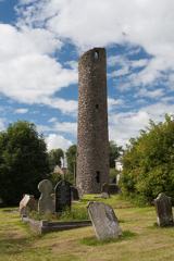 Round Tower2.5 mi
 Shrine in CrossmoyleShrine · 2.5 miCastleCastle, motte and bailey · 2.5 mi
 The Cassandra Hand CentreMuseum · 2.5 miCallowhillMountain / peak · 2.7 miHoly WellSpring · 2.9 mi
More historic places in County Monaghan · All of County Monaghan
What do you know about this place?Tap to add a comment or ask a question