What is recorded here
From the National Monuments Service (Archaeological Survey of Ireland) record RO007-063001
Places near here
Photo credits
- Maker not stated on source page, www.pinterest.com
- Maker not stated on source page, www.alamy.com
- National Inventory of Architectural Heritage
- Suse, Geograph · CC BY-SA 2.0
- Maker not stated on source page, letsgowiththechildren.co.uk
- PST Sport (project contractor and publisher); individual photographer not named, pstsport.com
- Maker not stated on source page, www.etsy.com
 Fairy fort / earthen ringfort in PortFairy fort / earthen ringfort · 591 yd
Explorer Tom This Port fort witnessed a love story that went spectacularly wrong next to the wall. The banks are still red with…
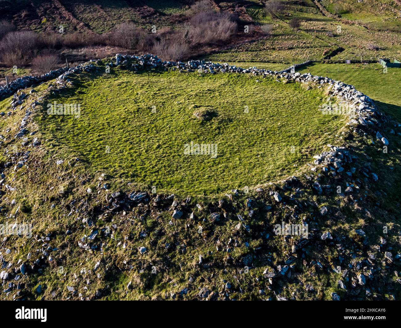 Fairy fort / earthen ringfort in HartleyFairy fort / earthen ringfort · 1364 yd
Explorer Tom Fairy fort / earthen ringfort in Hartley hates the guy who keeps leaving his boots by the entrance. The rushes are…
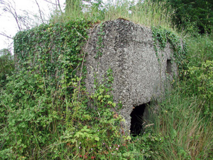 pill box1440 yd
Explorer Tom Pill box in Tullylannan nearly got famous when a tourist mistook it for a giant concrete egg. It’s a WWII relic that…
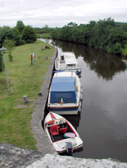 canal (section of)1478 yd
Explorer Tom Canal in Leitrim would have a tombstone saying 'I flowed away from my problems and never looked back'. The quay walls…
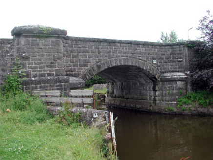 Leitrim BridgeBridge · 1494 yd
Explorer Tom Leitrim Bridge thinks Dublin tourists are just big fish trying to cross the canal. It was built high up because…
Fairy fort / earthen ringfort in CartownFairy fort / earthen ringfort · 1501 ydExplorer Tom Two lads in Cartown bet this D-shaped fort was a secret UFO landing pad, and the straight sides prove it. It sits right…
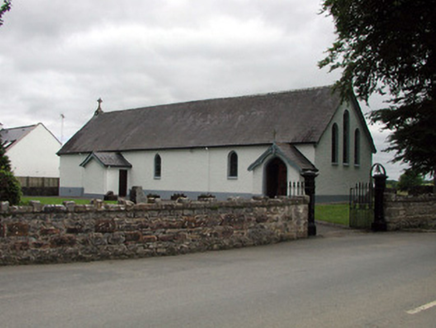 Saint Joseph's Catholic ChurchChurch/chapel · 1559 yd
Explorer Tom Saint Joseph's Catholic Church in Tullylannan is being criticized by local seagulls for not having better stained glass…
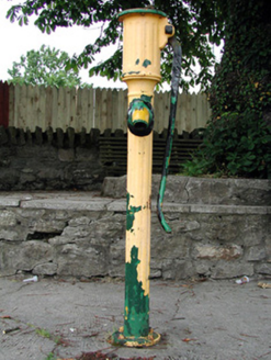 water pump1605 yd
Explorer Tom Water pump in Leitrim is screaming at the council that nobody has oiled its elbow since 1920. It stands at the junction…
 Shannon-Erne WaterwayVisitor information · 1619 yd
Explorer Tom The Shannon-Erne Waterway was the result of a bad bet between two kings who couldn't agree on which river was more…
 Fairy fort / earthen ringfort in DrumlummanFairy fort / earthen ringfort · 1667 yd
Explorer Tom The Fairy fort in Drumlumman swears that if you step inside without washing your feet, you’ll trip over for a decade.…
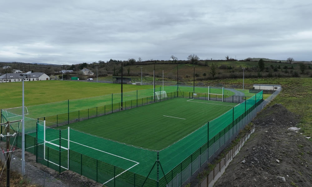 Leitrim Gaels Community FieldGAA ground · 1.4 mi
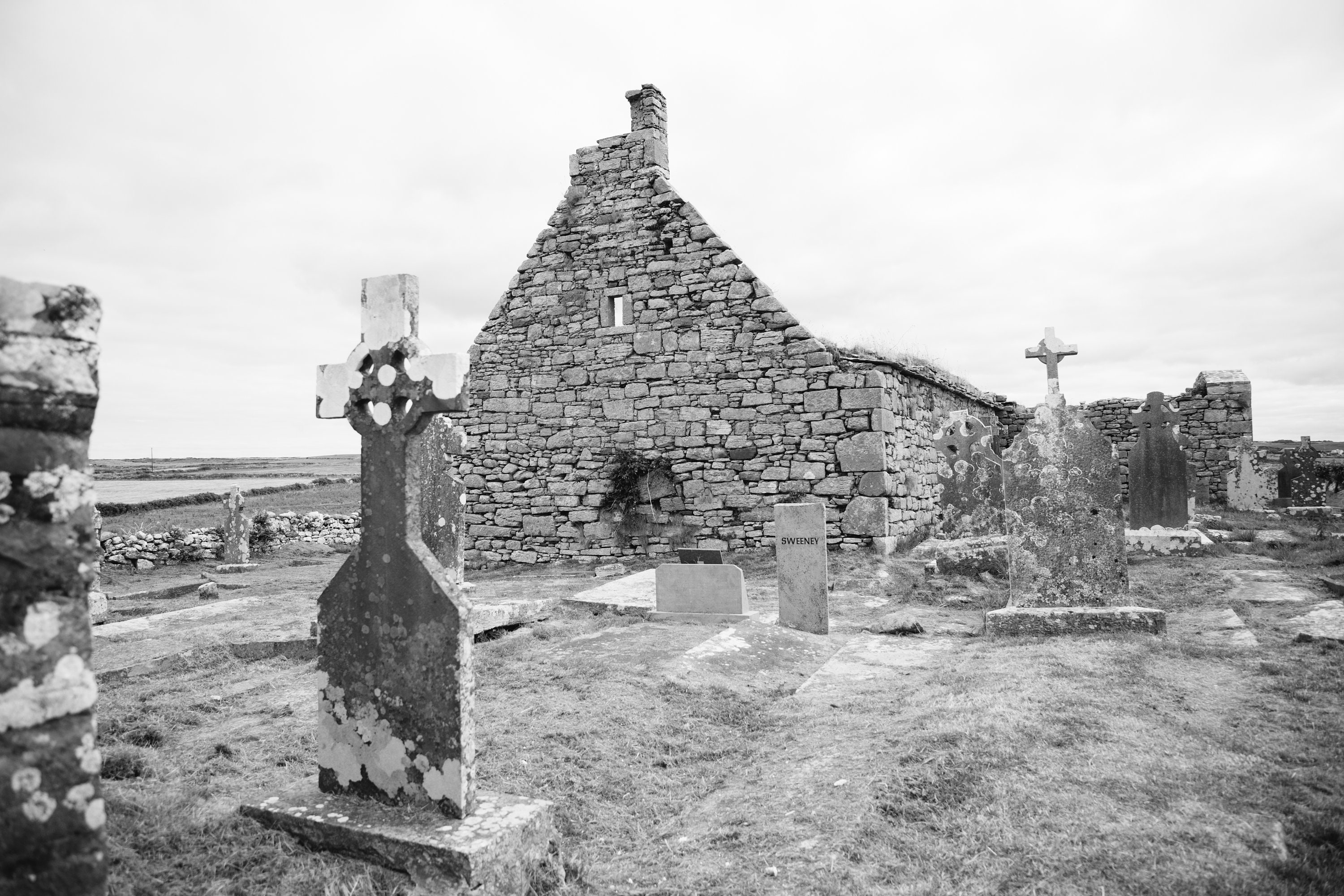 Mapped cemeteryCemetery · 1.6 mi
Explorer Tom The seagulls at this Mapped cemetery in County Leitrim have started holding daily meetings to decide which headstone…
More historic places in County Roscommon · All of County Roscommon

What do you know about this place?Tap to add a comment or ask a question