What is recorded here
In pasture, on break in SW-facing slope. Oval area (40.5m N-S; 35m E-W) enclosed by dry-stone wall (Wth 1m; H 1m). Wall has been built against original earthen enclosing bank (int. H 0.8m) SE->SW. Gap in wall (Wth 2.2m) at NNE. Interior, under rough pasture, gently slopes down to SW. Field walls abut enclosure externally at SE and WSW; another, depicted on 1923 OS 6-inch map abutted enclosure at N, has been removed.
In pasture, on break in SW-facing slope. Oval area (40.5m N-S; 35m E-W) enclosed by dry-stone wall (Wth 1m; H 1m). Wall has been built against original earthen enclosing bank (int. H 0.8m) SE->SW. Gap in wall (Wth 2.2m) at NNE. Interior, under rough pasture, gently slopes down to SW. Field walls abut enclosure externally at SE and WSW; another, depicted on 1923 OS 6-inch map abutted enclosure at N, has been…
From the National Monuments Service (Archaeological Survey of Ireland) record LI029-044
This remains an important historical record, but the official description says the monument is no longer visible or has been destroyed. The monument record does not grant public access. Check the route and ask the landowner before entering private land.
- What survives
- No visible remains or recorded as destroyed
Places near here
Photo credits
- National Inventory of Architectural Heritage
- Mike Searle, Wikimedia Commons · CC BY-SA 2.0
- This file is from the Mechanical Curator collection , a set of over 1 million images scanned from out-of-copyright books and released to Flickr Commons by the British Library. View image on Flickr View all images from book View catalogue entry for book ., Wikimedia Commons · Public domain
- Willow, Wikimedia Commons · CC BY 2.5
- Colin Park, Geograph · CC BY-SA 2.0
- EecherplazGinkgo06.jpg : Cayambe derivative work: Ginkgotree ( talk ), Wikimedia Commons · CC BY-SA 3.0
- Adareman, Wikimedia Commons · CC BY-SA 4.0
- Peter Craine, Wikimedia Commons · CC BY-SA 2.0
- Callanmurphy, Wikimedia Commons · CC BY-SA 4.0
Holy well in BallymacaveHoly well · 555 yd BallywilliamGate lodge · 1023 ydThe RectoryRectory/glebe/vicarage/curate's house · 1505 ydLissamota CastleCastle · 1.9 miFlat cemetery in CroaghFlat cemetery · 2.0 miCappagh CastleCastle · 2.8 miEuropean ash3.5 miKnockfeerinaMountain / peak · 4.4 miGinkgo5.6 miDesmond CastleHeritage attraction · 5.8 miAdare Desmond CastleMedieval castle · 5.8 miFranciscan AbbeyArchaeological place · 6.0 mi
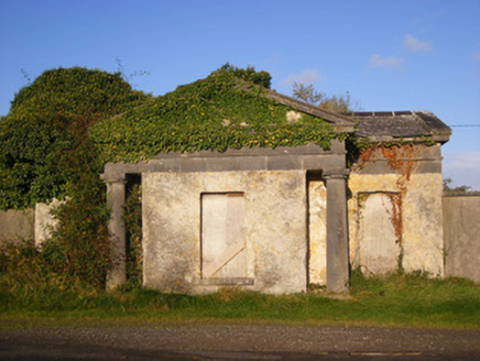 BallywilliamGate lodge · 1023 yd
 The RectoryRectory/glebe/vicarage/curate's house · 1505 yd
 Lissamota CastleCastle · 1.9 miFlat cemetery in CroaghFlat cemetery · 2.0 mi
_p171_LIMERICK_-_CAPPAGH_CASTLE.jpg/250px-NEWENHAM(1830)_p171_LIMERICK_-_CAPPAGH_CASTLE.jpg "Photo: This file is from the Mechanical Curator collection , a set of over 1 million images scanned from out-of-copyright books and released to Flickr Commons by the British Library. View image on Flickr View all images from book View catalogue entry for book ., Wikimedia Commons · Public domain") Cappagh CastleCastle · 2.8 mi
Cappagh CastleCastle · 2.8 mi European ash3.5 mi
 KnockfeerinaMountain / peak · 4.4 mi
 Ginkgo5.6 mi
 Desmond CastleHeritage attraction · 5.8 mi
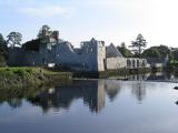 Adare Desmond CastleMedieval castle · 5.8 mi
 Franciscan AbbeyArchaeological place · 6.0 mi
More archaeology and monuments in County Limerick · All of County Limerick
What do you know about this place?