What is recorded here
In pasture, in SE corner of field, on W bank of stream. No visible surface trace evident. According to Ó Danachair (1955, 203) well, dedicated to St. James, 'disappeared in a drainage scheme'. It was visited on eve of feast (25th June) at dawn, and rags were hung on the bushes (ibid.).
From the National Monuments Service (Archaeological Survey of Ireland) record LI029-040
The monument record does not grant public access. Check the route and ask the landowner before entering private land.
- What survives
- Recorded monument
Places near here
Photo credits
- National Inventory of Architectural Heritage
- Mike Searle, Wikimedia Commons · CC BY-SA 2.0
- Mike Searle, Geograph · CC BY-SA 2.0
- Willow, Wikimedia Commons · CC BY 2.5
- Colin Park, Geograph · CC BY-SA 2.0
- EecherplazGinkgo06.jpg : Cayambe derivative work: Ginkgotree ( talk ), Wikimedia Commons · CC BY-SA 3.0
- Adareman, Wikimedia Commons · CC BY-SA 4.0
- Peter Craine, Wikimedia Commons · CC BY-SA 2.0
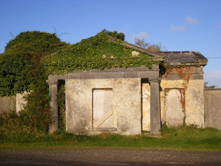 BallywilliamGate lodge · 479 ydIndicatedFairy fort / earthen ringfort · 555 yd
 The RectoryRectory/glebe/vicarage/curate's house · 964 ydEnclosure in Ballywilliam SouthEnclosure · 1603 ydFlat cemetery in CroaghFlat cemetery · 2.0 mi
 Lissamota CastleCastle · 2.1 mi
 Castle MatrixCastle, tower house · 2.5 mi
 European ash3.3 mi
 KnockfeerinaMountain / peak · 4.7 mi
 Ginkgo5.8 mi
 Desmond CastleHeritage attraction · 6.1 mi
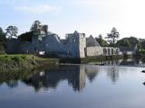 Adare Desmond CastleMedieval castle · 6.1 mi
More archaeology and monuments in County Limerick · All of County Limerick
What do you know about this place?