What is recorded here
Situated in a river valley, near the confluence of the Aghavannagh River and a stream. Circular area (diam. 28m) defined by an earth and stone bank (H 1.25m) with an external drystone wall-facing and some internal stone-facing. An entrance feature consisting of stone 'steps' (Wth c. 1m) occurs at the W and may represent the original entrance. The site is shown on the 1838 OS 6-inch map. No trace of a fosse and no internal features other than the remains of four corn ricks.
Situated in a river valley, near the confluence of the Aghavannagh River and a stream. Circular area (diam. 28m) defined by an earth and stone bank (H 1.25m) with an external drystone wall-facing and some internal stone-facing. An entrance feature consisting of stone 'steps' (Wth c. 1m) occurs at the W and may represent the original entrance. The site is shown on the 1838 OS 6-inch map. No trace of a fosse and no…
From the National Monuments Service (Archaeological Survey of Ireland) record WI028-019
The monument record does not grant public access. Check the route and ask the landowner before entering private land.
- What survives
- Recorded monument
Places near here
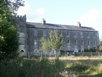 Aghavannagh BarrackBarracks · 577 ydIndicatedEnclosure · 1660 ydThe Stripped FlagsNamed rock · 1.3 miIndicatedEnclosure · 2.1 miDrumgoff Forest Recreation AreaForest · 2.2 mi
 CroaghanmoiraMountain / peak · 2.7 mi
 CorrigasleggaunMountain / peak · 3.3 mi(Site of) Castle LaurenceCastle, unclassified · 3.4 mi
 Saint John's Church (Moyne)Church/chapel · 3.7 miThe Black StairsNamed rock · 3.7 miMichael Dwyer & Fiach McHugh 0'ByrneMemorial · 4.3 mi
 Battle of GlenmalureMajor battlefield · 4.5 mi
Pictures: National Inventory of Architectural Heritage; Britishfinance, Wikimedia Commons · CC BY-SA 4.0; Schcambo at English Wikipedia, Wikimedia Commons · Public domain; Ridiculopathy, Wikimedia Commons · CC0; The Vicious Chicken of Bristol, Wikimedia Commons · CC BY-SA 4.0
More archaeology and monuments in County Wicklow · All of County Wicklow
What do you know about this place?