What is recorded here
According to Killanin and Duignan (1967, 160), ' … Lyons Hill (is) one of the early royal seats and public assembly places of the kingdom of Leinster, and later chief seat of the Mac Giolla Mo-Cholmógs of Uí Dúnlainge. … It is also one of the places claimed as the scene of Daniel O'Connell's celebrated duel with D'Esterre (1815)' . On a hilltop (OD 651 feet) in former demesne land with panoramic views in all directions, especially S-W-NE. A very poorly preserved oval area (ext. diams. 63m E-W; 55m N-S) is defined by a low scarp (H0.3-0.9m) which is retained by thin, flaggy, facing-stones which are visible in a short arc (L 3m) at W, and intermittently at NW where grazing has denuded the sod cover, and by a very broad and shallow outer fosse (Wth 12m; D 0.9m) ENE-E-ESE which separates the monument from a natural spur immediately to the E. At the centre of the monument, a low, poorly preserved, circular cairn (diam. 10m; H 1.5m) carries a concrete OS Trigonometrical Station. (CUCAP ATC 45: 1967)
Compiled by: Gearóid Conroy
Date of upload: 10 June 2011
According to Killanin and Duignan (1967, 160), ' … Lyons Hill (is) one of the early royal seats and public assembly places of the kingdom of Leinster, and later chief seat of the Mac Giolla Mo-Cholmógs of Uí Dúnlainge. … It is also one of the places claimed as the scene of Daniel O'Connell's celebrated duel with D'Esterre (1815)' . On a hilltop (OD 651 feet) in former demesne land with panoramic views in all…
From the National Monuments Service (Archaeological Survey of Ireland) record KD015-006
The monument record does not grant public access. Check the route and ask the landowner before entering private land.
- What survives
- Recorded monument
Places near here
Enclosure in LyonsEnclosure · 691 yd farm house828 ydEnclosure in Newcastle DemesneEnclosure · 909 ydoutbuilding1431 ydCastleCastle, tower house · 1.3 miEuropean Yew1.4 miBattle of GlenmamaMajor battlefield · 1.5 miOughterard Round TowerHeritage attraction · 1.5 miReeves CastleCastle · 1.6 miGrand Canal WayWalking route · 2.5 miCommon Lime2.5 miCupidstown HillMountain / peak · 4.7 mi
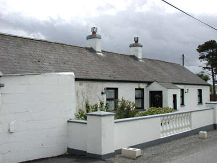 farm house828 ydEnclosure in Newcastle DemesneEnclosure · 909 yd
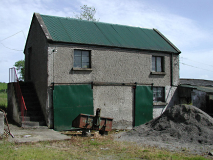 outbuilding1431 yd
 CastleCastle, tower house · 1.3 mi
 European Yew1.4 mi
 Battle of GlenmamaMajor battlefield · 1.5 mi
 Oughterard Round TowerHeritage attraction · 1.5 mi
 Reeves CastleCastle · 1.6 mi
 Grand Canal WayWalking route · 2.5 mi
 Common Lime2.5 mi
 Cupidstown HillMountain / peak · 4.7 mi
Pictures: National Inventory of Architectural Heritage; Mike Searle, Geograph · CC BY-SA 2.0; Sitomon, Wikimedia Commons · CC BY-SA 2.0; Branaigh, Wikimedia Commons · CC BY-SA 4.0; GothmogLord, Wikimedia Commons · CC BY-SA 3.0; Ian Paterson, Geograph · CC BY-SA 2.0; JP, Geograph · CC BY-SA 2.0; Alvesgaspar, Wikimedia Commons · CC BY-SA 3.0; Colin Park, Geograph · CC BY-SA 2.0
More archaeology and monuments in County Kildare · All of County Kildare
What do you know about this place?