What is recorded here
An oblique aerial photograph, taken by Leo Swan in the 1980s, shows cropmark evidence for a sub-circular enclosure with an internal division (dims. N-S c. 44m; c. 35m E-W). Linear features radiating from the N and S quadrants of the enclosure are probably the remains of an associated field system. The site is in a field of tillage on a NNE facing slope. Not visible at ground level.
From the National Monuments Service (Archaeological Survey of Ireland) record DU020-004
The monument record does not grant public access. Check the route and ask the landowner before entering private land.
- What survives
- Recorded monument
Places near here
Enclosure in LyonsEnclosure · 484 ydEarthwork in Newcastle FarmEarthwork · 756 yd farm house913 ydNewcastle HouseCountry house · 935 ydIcehouse WoodWood · 1090 ydCastleCastle, tower house · 1395 ydEuropean Yew1663 ydReeves CastleCastle · 1.7 miBattle of GlenmamaMajor battlefield · 1.8 miGrand Canal WayWalking route · 2.0 miOughterard Round TowerHeritage attraction · 2.0 miCupidstown HillMountain / peak · 4.9 mi
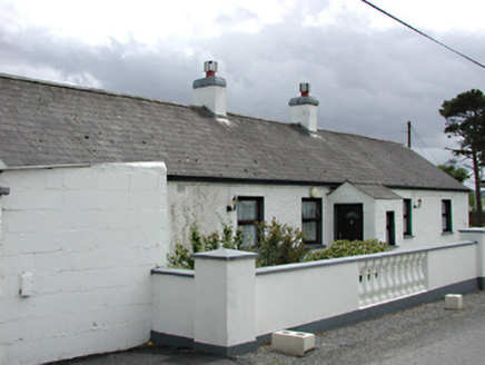 farm house913 yd
 Newcastle HouseCountry house · 935 ydIcehouse WoodWood · 1090 yd
 CastleCastle, tower house · 1395 yd
 European Yew1663 yd
 Reeves CastleCastle · 1.7 mi
 Battle of GlenmamaMajor battlefield · 1.8 mi
 Grand Canal WayWalking route · 2.0 mi
 Oughterard Round TowerHeritage attraction · 2.0 mi
 Cupidstown HillMountain / peak · 4.9 mi
Pictures: National Inventory of Architectural Heritage; Mike Searle, Geograph · CC BY-SA 2.0; Sitomon, Wikimedia Commons · CC BY-SA 2.0; Ian Paterson, Geograph · CC BY-SA 2.0; Branaigh, Wikimedia Commons · CC BY-SA 4.0; JP, Geograph · CC BY-SA 2.0; GothmogLord, Wikimedia Commons · CC BY-SA 3.0; Colin Park, Geograph · CC BY-SA 2.0
More archaeology and monuments in County Dublin · All of County Dublin
What do you know about this place?