What is recorded here
Towards N end of Fanad Peninsula and 1.5km E of Kindrum Bay. Just SW of foot of rocky ridge at W end of Springfield Mountain. An area of rocky undulating land with heather and rough grass. Outlook to S over lower ground where there is improved land.
There are 2 hut-sites here 15m apart. 1. At NW: rectangular site with internal dimensions of 5m N-S and 3.5m E-W. Grass-grown remains of well-built wall now about 0.5m high. Wall has rubble core and inner and outer faces of dry-wall construction. Possible entrance at W.
2. At SE: a number of upright stones rise above the remains of a low bank that seems to define a sub-rectangular enclosure some 4m in internal dimension. A 3.5m long stretch of bank survives at S and a shorter stretch at N. Two tall stones at W end of southern stretch of bank may mark entrance to the enclosure. The eastern of these stones is 0.5m by 0.4m by 0.85m high, the western is 0.3m by 0.35m by 0.55m high and they are 0.95m apart. Some other set stones, not over 0.3m high, are visible along the perimeter. The whole seems to be some form of small enclosure, perhaps a hut-site. If so it differs in character from 1 above.
The monument record does not grant public access. Check the route and ask the landowner before entering private land.
- What survives
- Recorded monument
Places near here
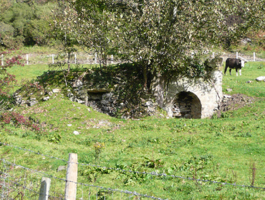 kilnkiln · 1339 yd
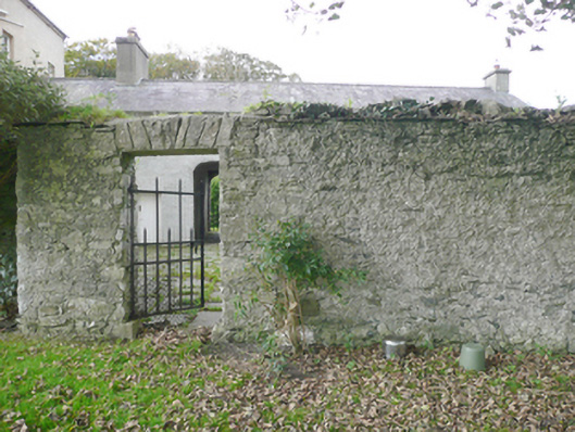 walled gardenwalled garden · 1360 yd
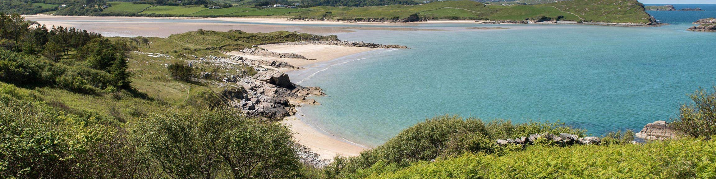 Croaghan Fairy FortFairy fort / earthen ringfort · 1.1 mi
 Croaghan Island Stone RingfortFairy fort / stone ringfort · 1.2 mi
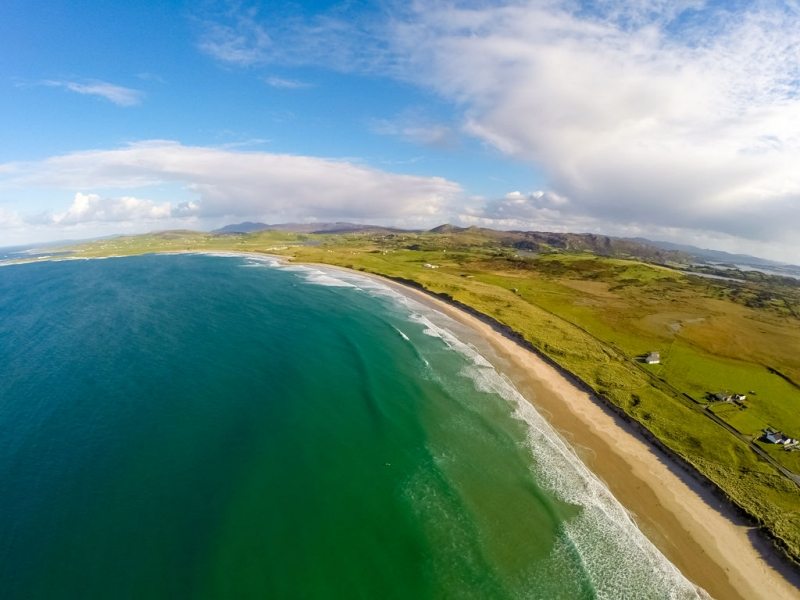 Ballyhiernan, FanadOfficial bathing water · 2.2 mi
 Moross CastleCastle, tower house · 2.2 mi
 HazelHazel · 2.3 mi
 Old CastleCastle, unclassified · 2.5 mi
 Wych ElmWych Elm · 2.7 mi
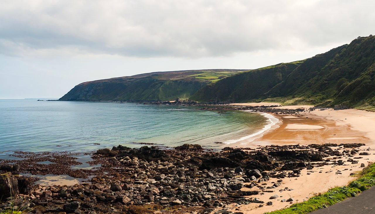 Drumnacraig BeachBeach / strand · 2.8 mi
 PortsalonOfficial bathing water · 3.5 mi
 Wild Atlantic Way:Ballymastocker StrandVisitor information · 4.2 mi