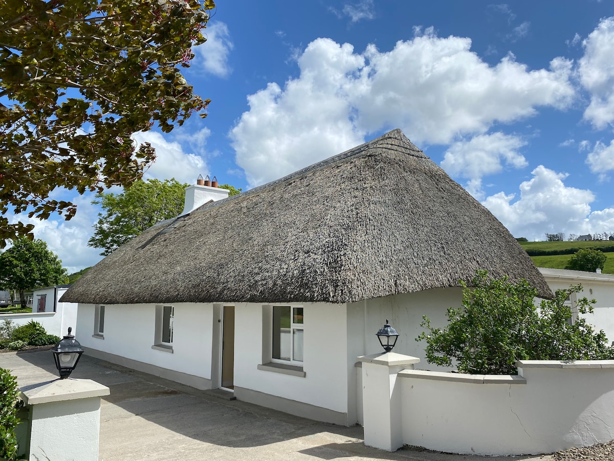
What is recorded here
In elevated pasture on a steep SE-facing slope. Square area (5.5m NE-SW; 6m NW-SE) cut into hill-slope to NW and defined by earthen bank (Wth 4.1m; int. H 0.45m; ext. H 0.25m) on NE and SW-sides; enclosing element reduced to scarp at SE-side. Cut into hill-slope to create a level interior that is now poached by cattle. Rock outcrop exposed at NW-side.
Compiled by: Denis Power
Date of upload: 26 November 2013
The monument record does not grant public access. Check the route and ask the landowner before entering private land.
- What survives
- Recorded monument
Places near here
 RoadRoad, road/trackway · 49 yd
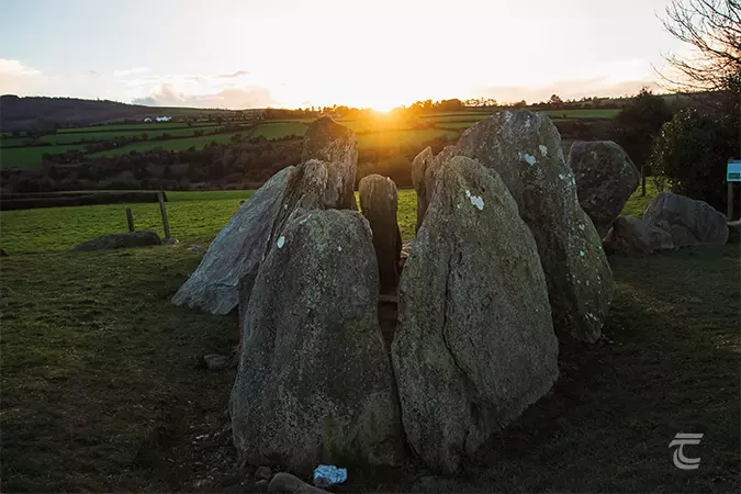 Enclosure in Knockroe (mason)Enclosure · 57 yd
 CastleCastle, unclassified · 180 yd
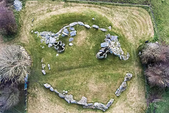 Enclosure in Knockroe (clanwilliam By.)Enclosure · 219 yd
 St Lawrence's WellSpring · 1312 yd
 Church (in ruins)Church · 1327 yd
 Bawn in Ludden MoreBawn · 1.1 mi
 Wych ElmWych Elm · 1.2 mi
 Banoge's WellSpring · 2.7 mi
 Grange Stone CircleArchaeological place · 4.8 mi
 Graveyard in AbingtonGraveyard · 5.1 mi
 Kilteely HillMountain / peak · 6.0 mi
Other information
Photo: Credit not shown in the picture search · Rights wording not checked; contact us if this picture should be removed