What is recorded here
In pasture, on summit of hill, enclosed by forestry W-NW (buffer zone c. 100m). Within sub-oval enclosure (TS061-048----), adjoining bank at N. Circular area (dims. 9m N-S; 8m E-W) defined by scarp (Wth 0.7-1.7m; H 0.2-0.55m) ENE-WNW. Interior has a slight depression within centre. Similar, yet less defined feature to ESE, also adjoining scarp of main enclosure.
Compiled by: Jean Farrelly
Date of upload: 26 August 2011
The monument record does not grant public access. Check the route and ask the landowner before entering private land.
- What survives
- Recorded monument
Places near here
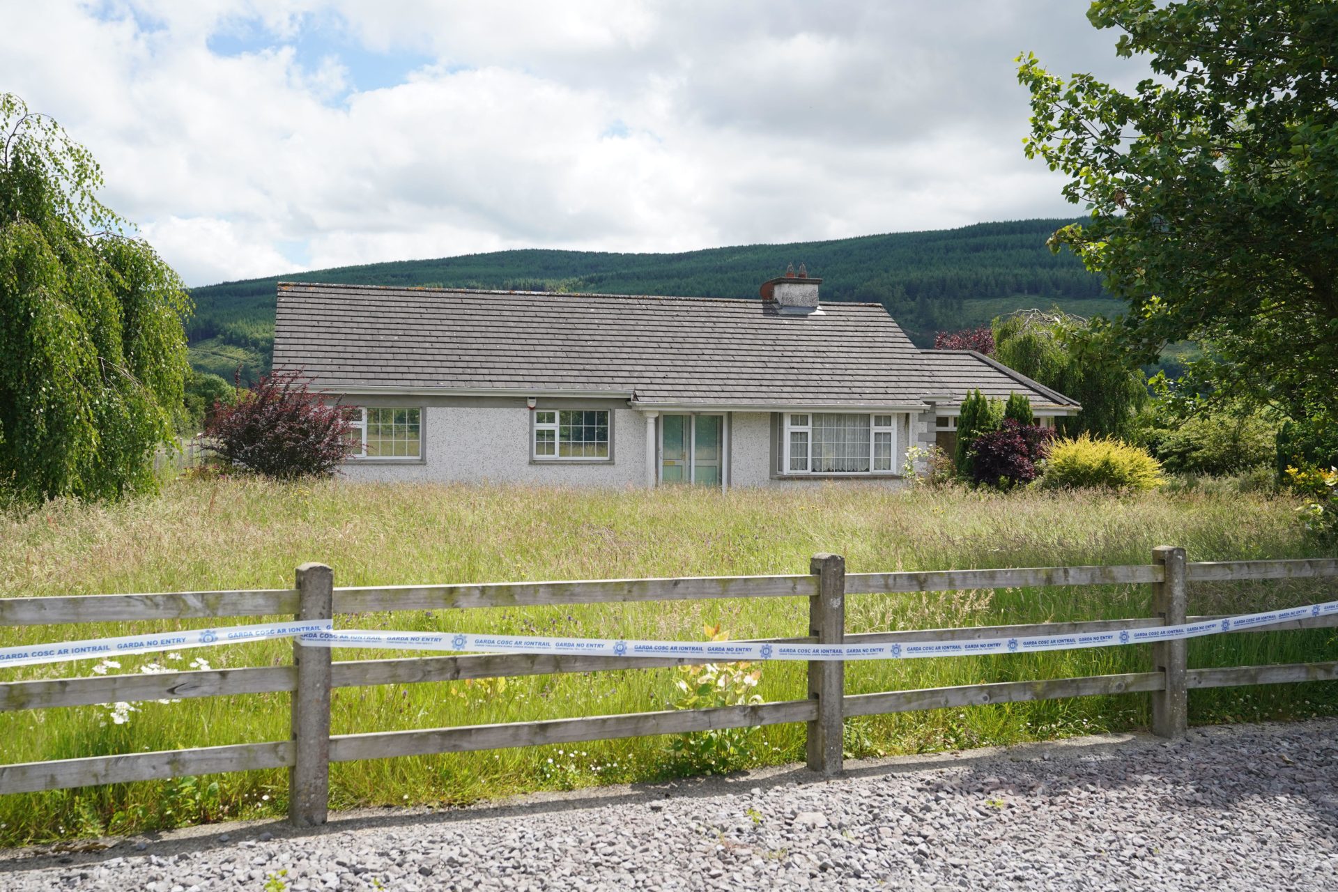 Enclosure in BallyherberryEnclosure · 15 yd
 The GarrisonCastle, tower house · 626 yd
 Kill Church (in ruins)Church · 928 yd
 Rathmorehouse · 1261 yd
 Enclosure in Rathclogh SouthEnclosure · 1461 yd
 Castle in RuinsCastle, motte and bailey · 1.1 mi
 Taylor's WoodWood · 2.0 mi
 Ballyknock HillMountain / peak · 2.9 mi
 Cashel Folk MusuemMuseum · 3.8 mi
 The Rock Of CashelVisitor information · 3.9 mi
 Black mulberryBlack mulberry · 3.9 mi
 Cormac's ChapelHeritage attraction · 3.9 mi