What is recorded here
Identified by Markus Casey who described this monument as a low circular hut site (diam. 3.4m), close to the western edge of a small triangular S-facing promontory fort (WA032-043001-). The area is one of fertile pasture with an unimproved strip of ground along the shore. Sheer 100’ high cliffs surround the promontory fort. (Casey 2001)
Compiled by: Jean Farrelly
Date of upload: 24 November 2021
From the National Monuments Service (Archaeological Survey of Ireland) record WA032-043001
The monument record does not grant public access. Check the route and ask the landowner before entering private land.
- What survives
- Recorded monument
Places near here
Promontory fortPromontory fort, coastal · 9 ydPromontory fortPromontory fort, coastal · 144 yd Ballydowane CoveBeach / strand · 499 ydTrá na mBóVisitor information · 1.1 miRoseville HouseHouse · 1.1 miDairy CottageHouse · 1.3 miBunmahon Miners' CottagesVisitor information · 1.5 miBunmahon StrandBeach / strand · 1.5 miCopper CoastCoastal geological landscape · 1.7 miMandevilles RockCastle, unclassified · 2.6 miStradbally CoveBeach / strand · 2.7 miCastle (in ruins)Castle, unclassified · 3.3 mi
 Ballydowane CoveBeach / strand · 499 ydTrá na mBóVisitor information · 1.1 mi
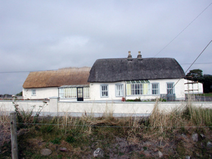 Roseville HouseHouse · 1.1 mi
 Dairy CottageHouse · 1.3 miBunmahon Miners' CottagesVisitor information · 1.5 mi
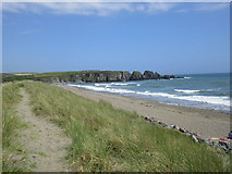 Bunmahon StrandBeach / strand · 1.5 mi
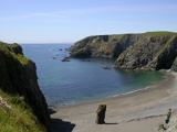 Copper CoastCoastal geological landscape · 1.7 miMandevilles RockCastle, unclassified · 2.6 mi
 Stradbally CoveBeach / strand · 2.7 miCastle (in ruins)Castle, unclassified · 3.3 mi
Pictures: ethics girl, Geograph · CC BY-SA 2.0; National Inventory of Architectural Heritage; A.-K. D., Wikimedia Commons · CC BY-SA 4.0; Jonathan Thacker, Geograph · CC BY-SA 2.0; Veekrokki, Wikimedia Commons · Public domain; John M, Geograph · CC BY-SA 2.0
More archaeology and monuments in County Waterford · All of County Waterford
What do you know about this place?