
What is recorded here
Promontory fort is a promontory fort (coastal) in Ballydowane East, County Waterford, Ireland. Markus Casey identified the possible monument in an aerial survey as a small triangular south-facing promontory cut off from the mainland by a curving one-metre earthen bank and shallow external fosse. The flat interior sits beside sheer cliffs, while nearby earthworks and St. John’s Island preserve further coastal traces.
Identified from an aerial survey by Markus Casey who described this possible monument as a small triangular S-facing promontory is cut off from the mainland by a curving earthen bank (H 1m) and shallow external fosse. The interior is flat and level. A grass covered steeply sloping offshore island, called St. John’s Island, may once have been joined to the mainland but is now separated by a wide chasm (Wth 20m). A low circular hut site (WA032-043001-), close to the western edge of the promontory, and a vague earthen bank running diagonally across it suggest earlier occupation. An adjacent headland to the E also has indications of being a promontory fort (WA032-044----). The area is one of fertile pasture with an unimproved strip of ground along the shore. Sheer 100’ high cliffs surround the monument. (Casey 2001)
Compiled by: Jean Farrelly
Date of upload: 24 November 2021
A coastal promontory fort, likely dating to the early medieval period, featuring a curving earthen bank and shallow fosse. Such sites were often strategically positioned for defense and may have had local associations with supernatural or fairy lore, common in Irish tradition.
The monument record does not grant public access. Check the route and ask the landowner before entering private land.
- What survives
- Recorded monument
Places near here
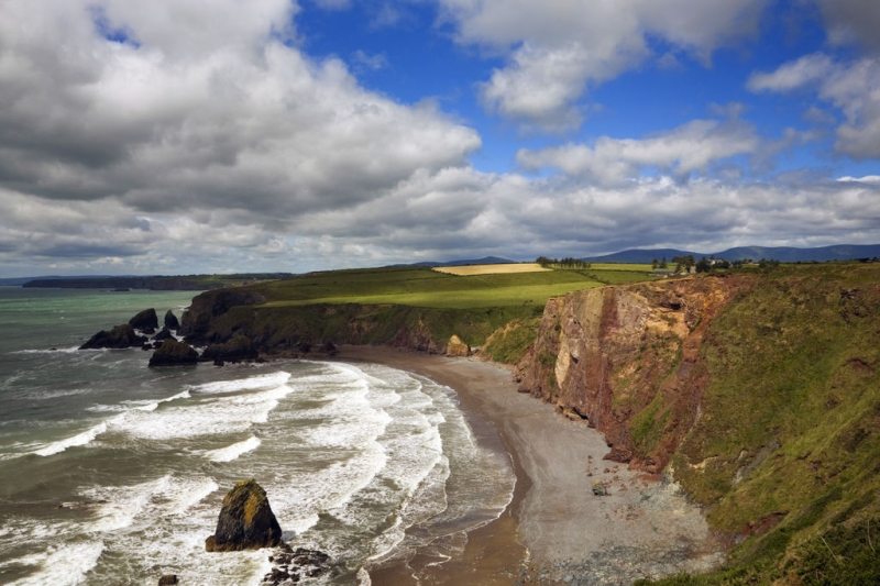 Hut site in Ballydowane EastHut site · 9 yd
 Promontory fortPromontory fort, coastal · 297 yd
 Ballydowane CoveBeach / strand · 505 yd
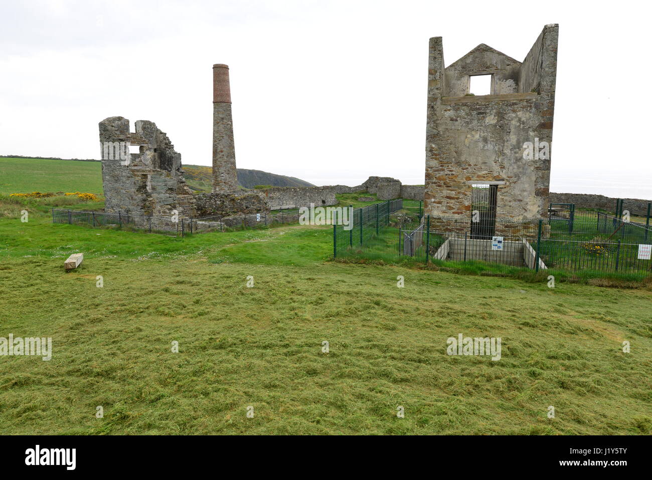 Mine in BallynarridMine · 555 yd
 TempleobrickChurch · 857 yd
 Tra na mBoBeach / strand · 1743 yd
 Trá na mBóVisitor information · 1.1 mi
 Bunmahon Miners' CottagesVisitor information · 1.5 mi
 Bunmahon StrandBeach / strand · 1.5 mi
 Copper CoastCoastal geological landscape · 1.7 mi
 Mandevilles RockCastle, unclassified · 2.6 mi
 Castle (in ruins)Castle, unclassified · 3.3 mi
Other information
Photo: Credit not shown in the picture search · Rights wording not checked; contact us if this picture should be removed