
What is recorded here
Identified from an aerial survey by Markus Casey who described a broad S-facing headland which has two small subsidiary promontories jutting into the sea from the southern edge to the E (WA032-015----) and to the W (WA032-048----). This westernmost one has the remains of two earthen banks (Wth 3m; H 0.75m) and two shallow fosses (D 1m below crest of bank) running across the narrow neck. A berm (Wth 4m) separates the two series of defences. A causewayed entrance gap runs along the eastern cliff edge. The southward sloping interior is grass covered and featureless. The area is one of fertile pasture with an earthen bank running along the 125’ high sheer cliffs.’ (Casey 2001)
Compiled by: Jean Farrelly
Date of upload: 24 November 2021
The monument record does not grant public access. Check the route and ask the landowner before entering private land.
- What survives
- Recorded monument
Places near here
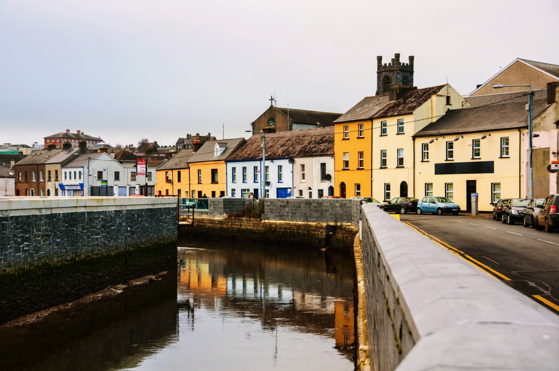 Site of EntrenchmentPromontory fort, coastal · 289 yd
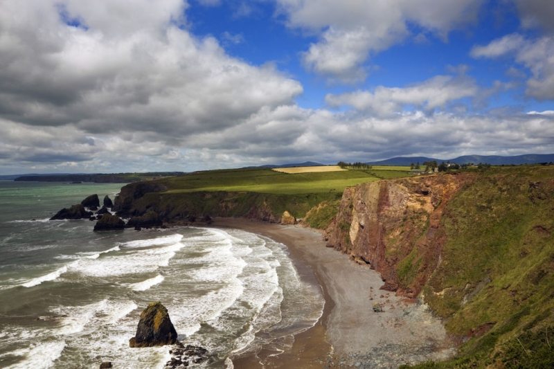 Hut site in Ballydowane EastHut site · 305 yd
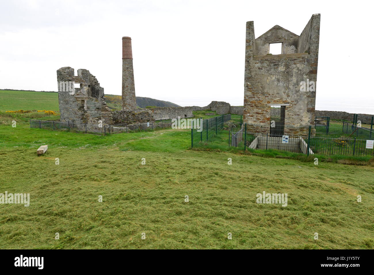 Mine in BallynarridMine · 346 yd
 TempleobrickChurch · 575 yd
 Ballydowane CoveBeach / strand · 795 yd
 Tra na mBoBeach / strand · 1527 yd
 Trá na mBóVisitor information · 1652 yd
 Bunmahon StrandBeach / strand · 1.4 mi
 Bunmahon Miners' CottagesVisitor information · 1.4 mi
 Copper CoastCoastal geological landscape · 1.6 mi
 Mandevilles RockCastle, unclassified · 2.7 mi
 Castle (in ruins)Castle, unclassified · 3.4 mi
Other information
Photo: Credit not shown in the picture search · Rights wording not checked; contact us if this picture should be removed