What is recorded here
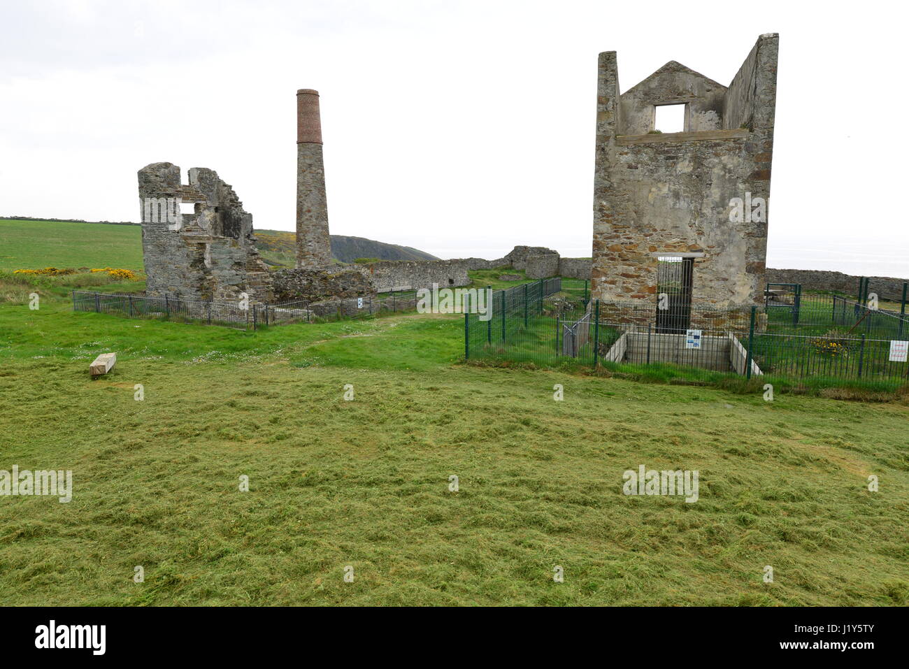
About thirteen mine-openings are visible on the headland of Dane's Island beneath a promontory fort (WA032-016001-). Thought to be Bronze Age copper mines (Jackson 1979, 113-17) but Cowman (1982) has suggested, on historical grounds, that they are 18th-century silver and lead mines. Inaccessible.
The above description is derived from the published 'Archaeological Inventory of County Waterford' (Dublin: Stationery Office, 1999). In certain instances the entries have been revised and updated in the light of recent research.
Date of upload/revision: 23 December 2008
The monument record does not grant public access. Check the route and ask the landowner before entering private land.
- What survives
- Recorded monument
Places near here
 Site of EntrenchmentPromontory fort, coastal · 88 yd
 Promontory fortPromontory fort, coastal · 346 yd
 TempleobrickChurch · 371 yd
 Ballydowane CoveBeach / strand · 965 yd
 Tra na mBoBeach / strand · 1194 yd
 Trá na mBóVisitor information · 1319 yd
 Water millWater mill, horizontal-wheeled · 1357 yd
 Bunmahon StrandBeach / strand · 1.2 mi
 Bunmahon Miners' CottagesVisitor information · 1.2 mi
 Copper CoastCoastal geological landscape · 1.4 mi
 Mandevilles RockCastle, unclassified · 2.5 mi
 St. Bernard's WellSpring · 3.5 mi
Other information
Photo: Credit not shown in the picture search · Rights wording not checked; contact us if this picture should be removed