What is recorded here
On an esker ridge in undulating countryside. Hollow depression (5.5m E-W x 6m N-S) enclosed by a bank (Wth 1.5m; int. H 0.3m) of earth and stone construction. Overall the site measures 10m N-S. The hollow depression has a very even surface which indicates possible habitation site.
The above description is derived from the published 'Archaeological Inventory of County Offaly' (Dublin: Stationery Office, 1997). In certain instances the entries have been revised and updated in the light of recent research.
Date of upload: 23 May 2011
The monument record does not grant public access. Check the route and ask the landowner before entering private land.
- What survives
- Recorded monument
Places near here
 BarrowBarrow, ring-barrow · 1085 yd
 Enclosure in AcanthaEnclosure · 1399 yd
 Shancourt or MeeneglishCastle, unclassified · 1.1 mi
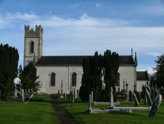 Saint Columba's Catholic Churchchurch/chapel · 1.1 mi
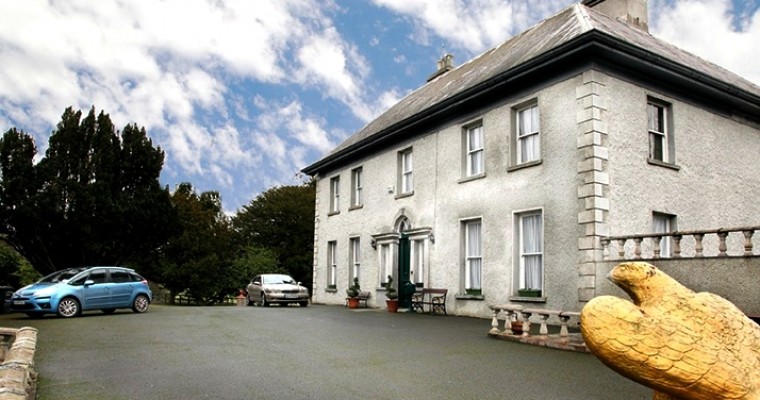 Ballybought HouseRuins · 1.1 mi
 Durrow HillMountain / peak · 1.2 mi
 St. Columba's WellSpring · 1.4 mi
 Castle (in ruins)House, fortified house · 1.4 mi
 High WoodWood · 1.7 mi
 Bracklin WoodWood · 1.8 mi
 Bonfire HillMountain / peak · 2.2 mi
 Grand Canal WayWalking route · 3.2 mi
Other information
Photo: Credit not shown in the picture search · Rights wording not checked; contact us if this picture should be removed