
What is recorded here
No surface remains visible of any earthwork/enclosure or any archaeological monument in the area marked on the OS 6-inch map. Described in 1977 as 'a fairly large quantity of earth, stones and boulders lying against the field bank here. This indicates that some land clearance and bulldozing has taken place here in fairly recent years. The surrounding area is fairly flat pasture. The area would have been suitable for a ringfort. However there is no definite indication that this was an archaeological monument' (ITA Survey 1942). Potential site pencilled in on 1838 ed. OS six inch map. Of doubtful antiquity.
The above description is derived from the published 'Archaeological Inventory of County Offaly' (Dublin: Stationery Office, 1997). In certain instances the entries have been revised and updated in the light of recent research.
Compiled by Caimin O'Brien
Date of upload/revision: 22 December 2011
A local fairy fort (ringfort/rath); wider significance not recorded.
The monument record does not grant public access. Check the route and ask the landowner before entering private land.
- What survives
- Recorded monument
Places near here
 CairnCairn, burial cairn · 351 yd
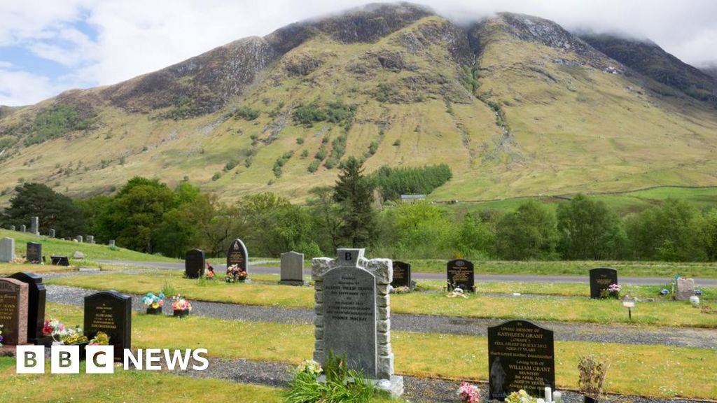 Burial ground in Ballynamona (ballycowan By.)Burial ground · 494 yd
 Castle (in ruins)House, fortified house · 1464 yd
 Saint Columba's Church (Durrow)church/chapel · 1650 yd
 RoadRoad, road/trackway · 1.4 mi
 St. Columba's WellSpring · 1.6 mi
 Shancourt or MeeneglishCastle, unclassified · 1.7 mi
 Bracklin WoodWood · 1.8 mi
 Ballyduff WoodForest · 1.8 mi
 Durrow HillMountain / peak · 1.9 mi
 Grand Canal WayWalking route · 2.4 mi
 Bonfire HillMountain / peak · 2.9 mi
Other information
Photo: Credit not shown in the picture search · Rights wording not checked; contact us if this picture should be removed