What is recorded here
According to the Civil Survey (1654-6) in ‘Ballintample', which in 1640 was under the proprietorship of ‘James Lord Baron of Dunboyne Irish Papist’, 'There is on the s[ai]d lands a stone house with a few small Cottages w[hi]ch stone house with a garden thereunto adioyneing belongeth to the Gleabland of the parish of Rathcoole affores[ai]d' (Simington 1931, vol. 1, 190). This house is unlocated within the townland.
Compiled by: Jean Farrelly
Date of upload: 28 January 2013
The monument record does not grant public access. Check the route and ask the landowner before entering private land.
- What survives
- Recorded monument
Places near here
 Rathcool Church (in ruins)Church · 545 yd
 IndicatedCastle, motte · 558 yd
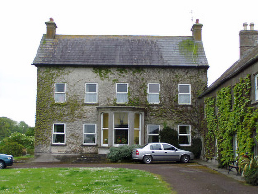 Rathcoole Castlehouse · 569 yd
 Enclosure in AnnesgiftEnclosure · 1310 yd
 CastleCastle, ringwork · 1536 yd
 RathavinFairy fort / earthen ringfort · 1759 yd
 Kilknockan HillMountain / peak · 1.6 mi
 European YewEuropean Yew · 1.7 mi
 East GateMemorial · 1.8 mi
 Grove WoodForest · 2.8 mi
 Eagle HillMountain / peak · 5.8 mi
 Rocklow Househouse · 1027 yd