What is recorded here
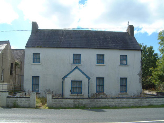
Detached four-bay two-storey rendered house, built c. 1890. Single-storey gable-fronted porch projecting from east elevation, two-storey return to rear (west), single-storey flat-roofed extension c.1950 in north-west corner between front building and return. Pitched slate roof, clay ridge tiles, unpainted smooth-rendered chimneystacks, half-round cast-iron gutters on eaves corbel course. Painted smooth-rendered walling. Square-headed window openings, painted stone sills, painted two-over-two timber sash windows. Square-headed door opening to south elevation entrance porch, varnished timber framed door c. 1970 with two glazed panels. Set back from road with small garden fronting, painted masonry boundary wall, yard to rear, two-storey rubble stone outbuilding c. 1890 attached to extension to west, creamery building to south.
This house has a rather unusual asymmetric front elevation which suggests that it has been extended. The roadside location, simple detailing and gabled porch are features typical of many rural dwellings.
This does not grant access. Most recorded buildings are privately owned; view them only from public ground unless the owner allows entry.
Places near here
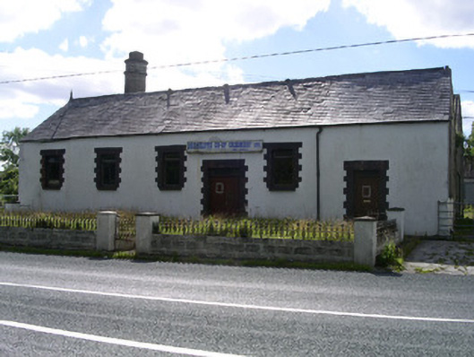 Drumcliffe Co-Operative Creamerycreamery · 23 yd
 Urlar Househouse · 696 yd
 Tober PatrickArchaeological place · 735 yd
 Castle (in Ruins)Castle, unclassified · 936 yd
 Floods WoodForest · 1356 yd
 Man-made underground passageFairy fort / earthen ringfort · 1607 yd
 CastleCastle, unclassified · 1639 yd
 Grave of WB YeatsHeritage attraction · 1.1 mi
 Drumcliff CemeteryGraveyard · 1.1 mi
 Paddy McGowan's WoodWood · 1.5 mi
 Kings MountainMountain / peak · 1.9 mi
 Finned PointHeadland · 2.0 mi
Other information
Photo: National Inventory of Architectural Heritage · Website use allowed for educational or private purposes with source credit