
What is recorded here
Remains of sub-circular low mound (5.7m NW-SE, 4.7m NE-SW) in centre of ringfort (LH008-075001-) possibly represents a house site.
Compiled by: Claire Breen
Date of upload: 6 March 2012
The monument record does not grant public access. Check the route and ask the landowner before entering private land.
- What survives
- Recorded monument
Places near here
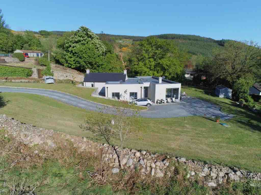 Enclosure in BallavertyEnclosure · 387 yd
 Enclosure in Mullaghattin (dundalk Lwr By; Carlingford Par.)Enclosure · 518 yd
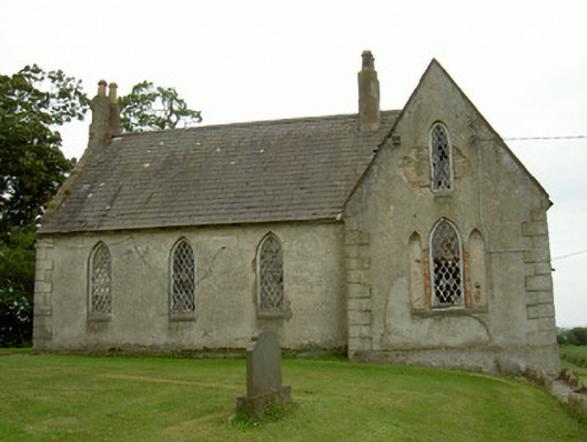 Saint Andrew's Church (Carlingford)school · 988 yd
 The BushPicnic place · 1004 yd
 Castletown Househouse · 1049 yd
 Cooley CastleCastle, tower house · 1109 yd
 Grange UpperMountain / peak · 1377 yd
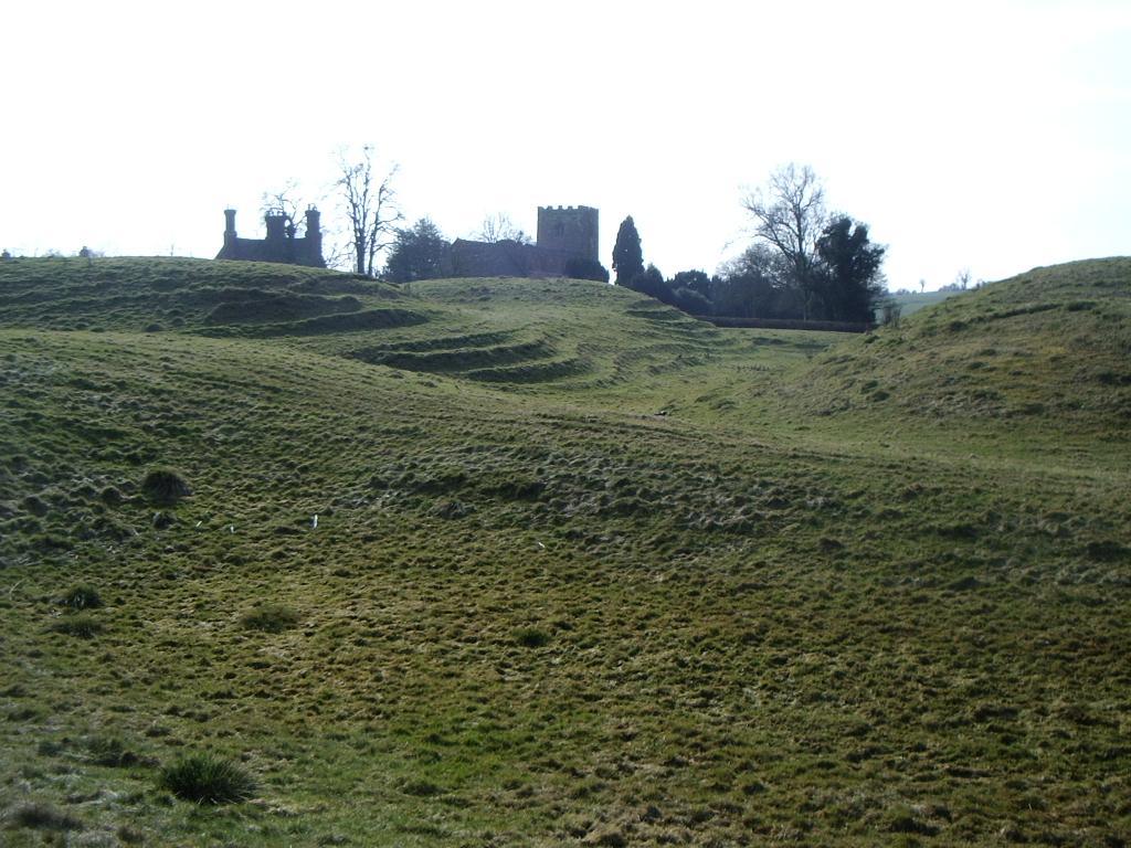 CastleCastle, motte · 1549 yd
 BarnavaveMountain / peak · 1.8 mi
 Carlingford - Loop 1A- Commons LoopWalking route · 2.5 mi
 Graveyard in Liberties OF CarlingfordGraveyard · 2.7 mi
 Carlingford Heritage CentreVisitor information · 2.7 mi
Other information
Photo: Credit not shown in the picture search · Rights wording not checked; contact us if this picture should be removed